On
this page we follow the 18 holes Tornio - Haparanda Golf Course boundary from northeast towards
southwest. The golf course is located on the Swedish - Finnish border in
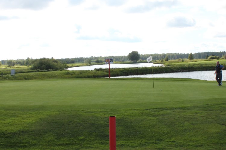
the northernmost part of Gulf of Bothnia. This photo: From hole 6. The boundary is between the
two red poles. Finland (south/left) and Sweden (north/right). At
this hole it is possible to make a hole-in-one over the boundary! When
it is 12 am in Sweden the time is 1 pm in Finland. The boundary is the center of the green and the time difference makes the ball to lose a full
hour, but on the way home one gets it back.
Thanks to the Nordic Passport Union which came into force on 1 May 1958
any Nordic citizen may legaly pass any Nordic border without even
carrying any ID document. Since both Finland and Sweden are Schengen
countries most other citizens also may play golf here.
Same
angle as above, but slightly cropped view.
Wet
boundary from east-southeast towards west-northwest. Borderpole in the
river between the golf course's fairways no 7 and 17.
Slightly
more west of the point on the photo above.
From
the point above, but towards east.
Now
on the western leg: From hole no. 10 towards north. (About the same
angle as this
2002 photo.)
Cropped
part of the photo above.
Same
border marker as on photo above, but now from southwest towards
northeast.
Close-up
of marker on the photo above. The markers are made from a poly material.
Cropped image of the above
photo. The border clearly turns at the second marker which is located on
a marsh island.
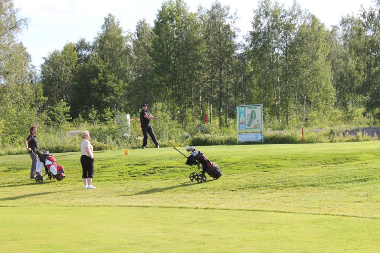
Now
from north towards south: From
the teeing ground at fairway 10. The red pole to left of the sign is a
border marker. The teeing ground is in Finland, but most of the rest of
the fairway is located in Sweden.
Overview
photo of the same area. Photographed from one border marker towards
south west and the next border marker (located just to the right of the
sign). The 18th hole is just in foreground, and the 10th teeing ground
in the middle of this picture – both in Finland while their fairways
are in Sweden.
Photographed
from south towards
the teeing ground at fairway 10 (see photo above).
Photographed
from the point on the photo above, but towards south. The road in the
middle of the photo is going from historic border direction markers no
58 (340 m to right) and no 63
(200 m to left).
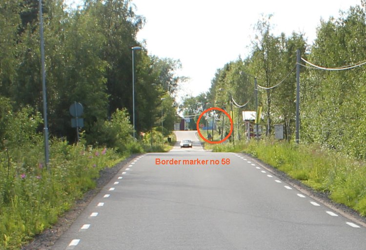
Road
border. Photo taken from Finland in direction of Sweden.
Cropped
image of the photo above showing the location of border direction marker
no 58.
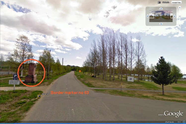
Road
border. Photo taken from Sweden in direction of Finland.
Location
of border direction marker 63 on an
Google Earth image.
Motif
photographed from the road in direction of Lake Kaupunginlahti. The
field is the golf course training range which is situated west of the
golf club house.
Cropped
part of the photo above. Here we see how the border turns at the shore of
the lake.