View
towards south. The Lithuanian - Polish administration line went
north-south approximately in the middle of this photo.

The
text from a pre-WWII journal (translated from Polish): At the confluence of the
borders of Poland, Latvia and Lithuania. Photo shows the IV Męska
Krakowska Drużyna Harcerska/IV
Men's Cracow's
Scout Team on the borders of the three states. Due to Lithuania's theory
being in "war with Poland" the Polish-Lithuanian border is not demarcated in detail.
Therefore we see the boundary line marked by straw sticks. You can in the picture
see a characteristic sign of borderlands. The officer standing next to the
scouts of the Border Protection Corps (KOP) soldiers is wearing a characteristic circular cap, worn only
by the KOP. (Source: Boguslaw Tomaszewski.)
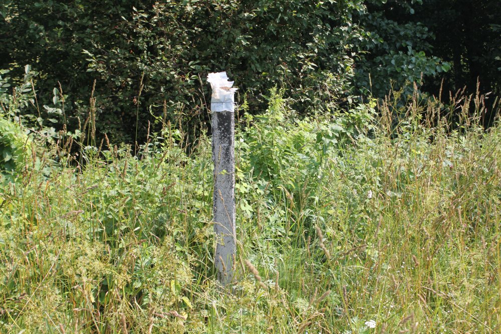
A
concrete pole found west of the boundary marker, near the river.
Appeared too new to could origin from before the war.
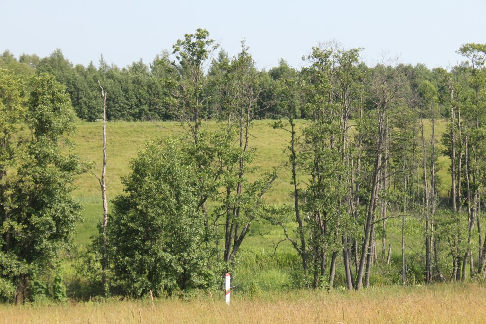
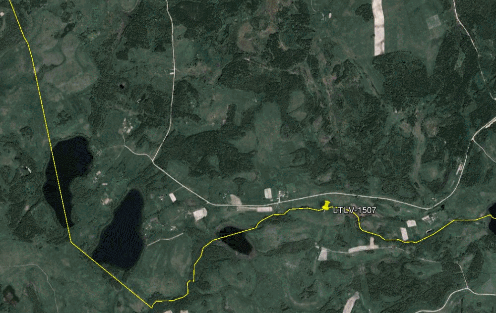
The
northernmost crossing-point at the former Lithuanian-Polish administration
line was located about 50 metres ahead at the road to the right, located
about 300 m south of border marker 1507. (The road to left leads to
a nearby farm.)

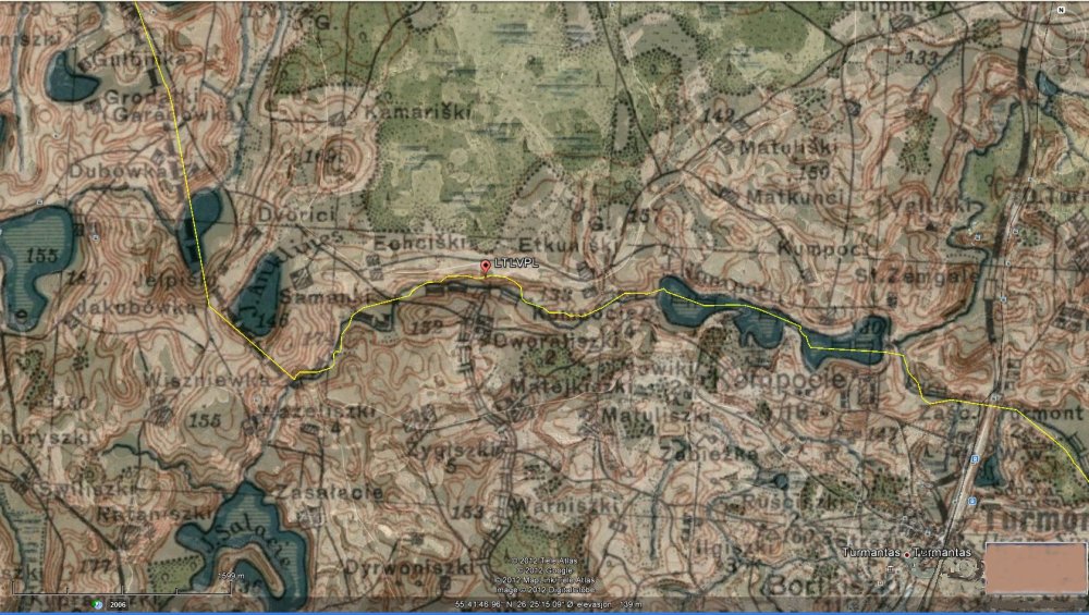
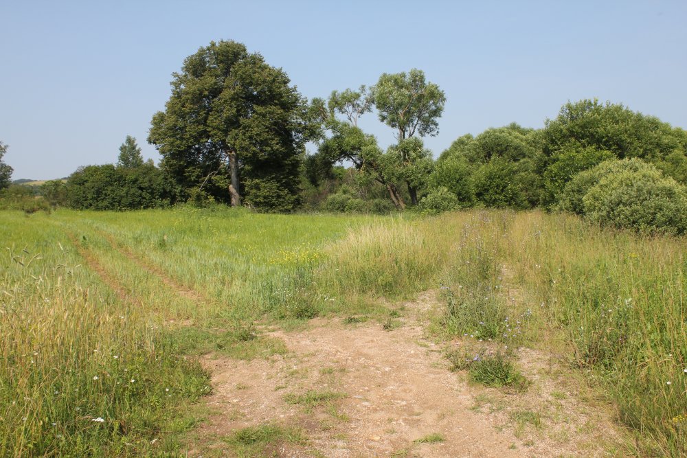
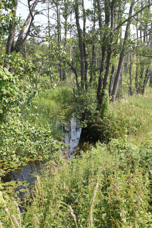
This
was how the most likely actual line looked like in July 2012.
The
line watched from the road towards north.

A
high-voltage power line was going north-south 300 metres east of the
former administration line.
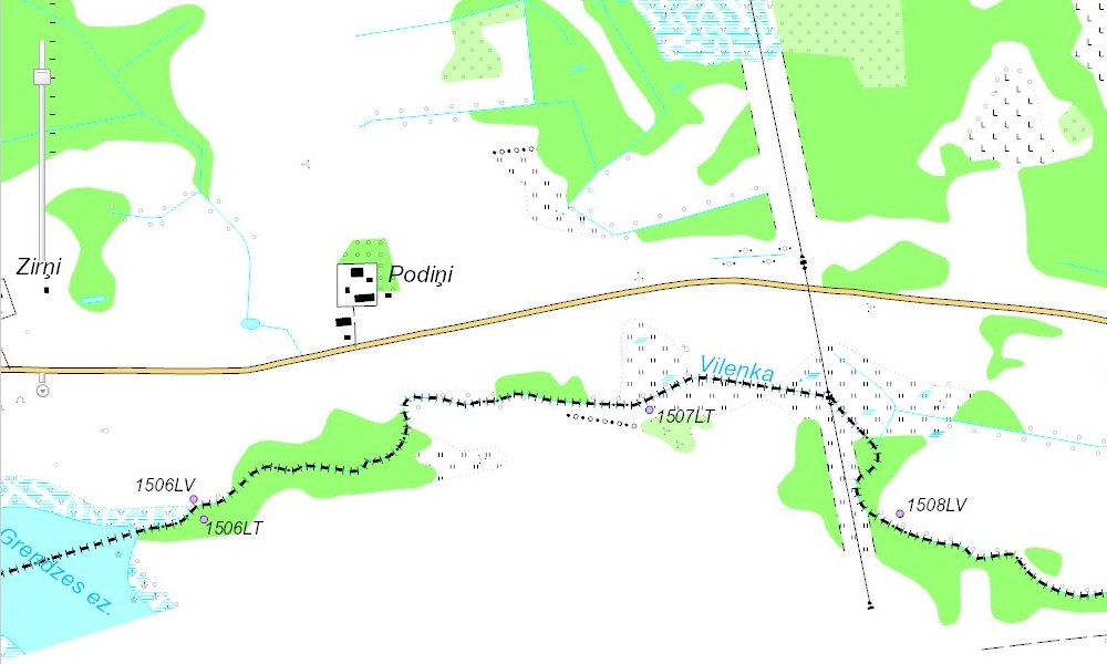
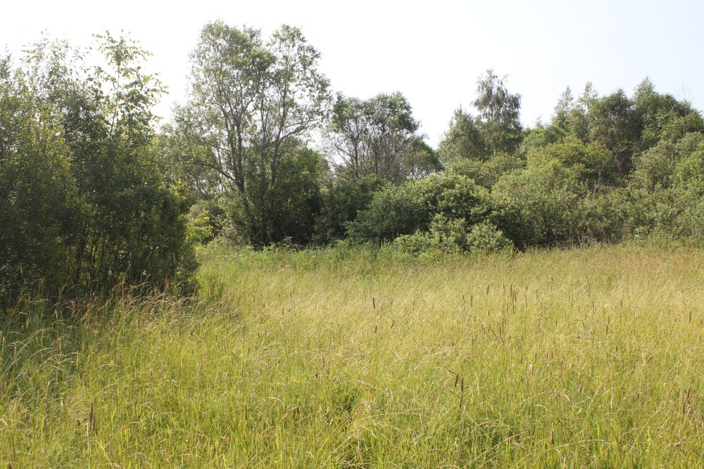
The
Vilenka river.
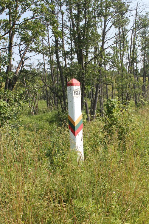
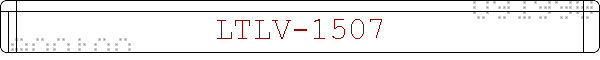
Border
marker no. 1507 watched from south west.
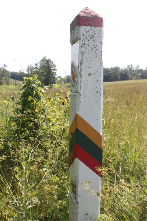
The
marker watched from west towards east. We can barely see the side turned
towards Latvia.

The
southern side.
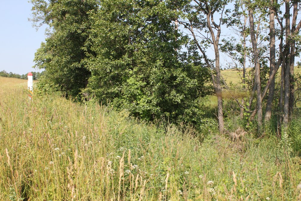
The
marker watched from east.