Same
view as above. The photo shows the bridge between Lithuania and Latvia and
the Lithuanian Customs staff at Smėlynė border crossing
point in 1935. Near the bridge, on the Lithuanian side, from left side no.
2 Mr. Kazimieras Jasevičius, no. 3 Customs Guard Mr. Matiekūnas and no.
6 Chief Customs Guard Mr. Kukta. The Latvian concrete border marker is to
the left behind the border bridge. The closest building appears to be
the Latvian Customs at Medumi.
(© Zarasai
Regional Museum
1.)

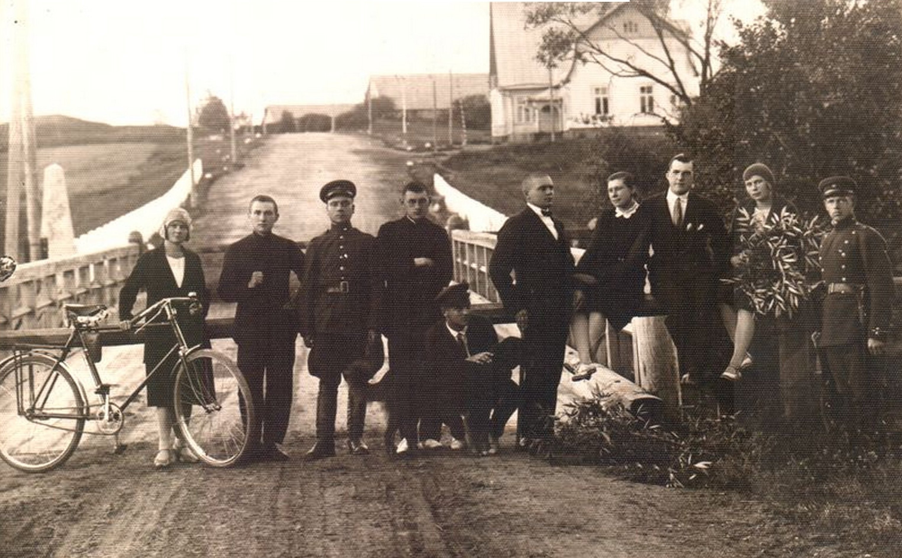
The Lithuanian concrete border marker.
Photographed towards west. The picture shows a group of students
traveling from Kaunas to Daugavpils guided by Bishop Mečislovas Reinys
Photo: Leonas Dainys. ©
2012, 2015 Aleksandras Al. Sakas. 2

The
Latvian concrete border marker. Photographed towards north. The picture
shows a group of students traveling from Kaunas to Daugavpils guided by
Bishop Mečislovas Reinys Photo: Leonas Dainys. ©
2012, 2015 Aleksandras Al. Sakas. 2
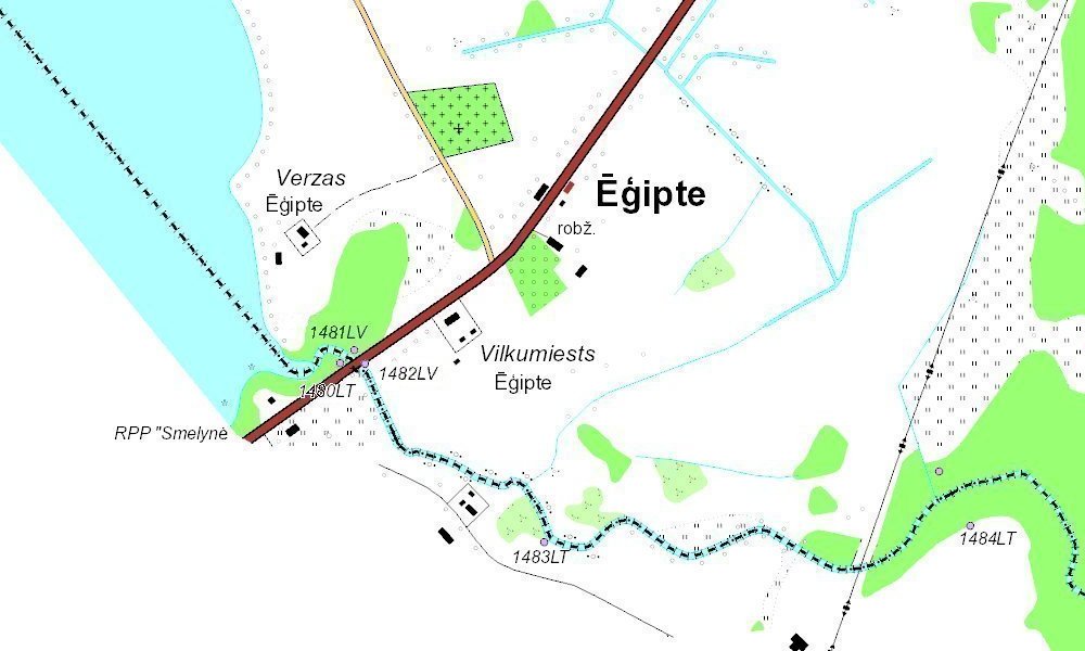
Lithuanian
indirect border marker 1480 watched from the road bridge. The Latvian
concrete marker was standing about at the concrete pole on this photo.

The
marker is located 11,9 m from the borderline which runs in the middle of
the river.
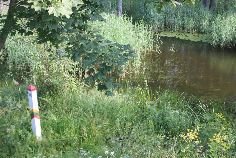
Boundary
marker 1480.

Close-up
of border marker.

Approximately
on the opposite side of the river was Latvian indirect border marker
1481. This concrete pole maybe marks the location of the Lithuanian
concrete pole.
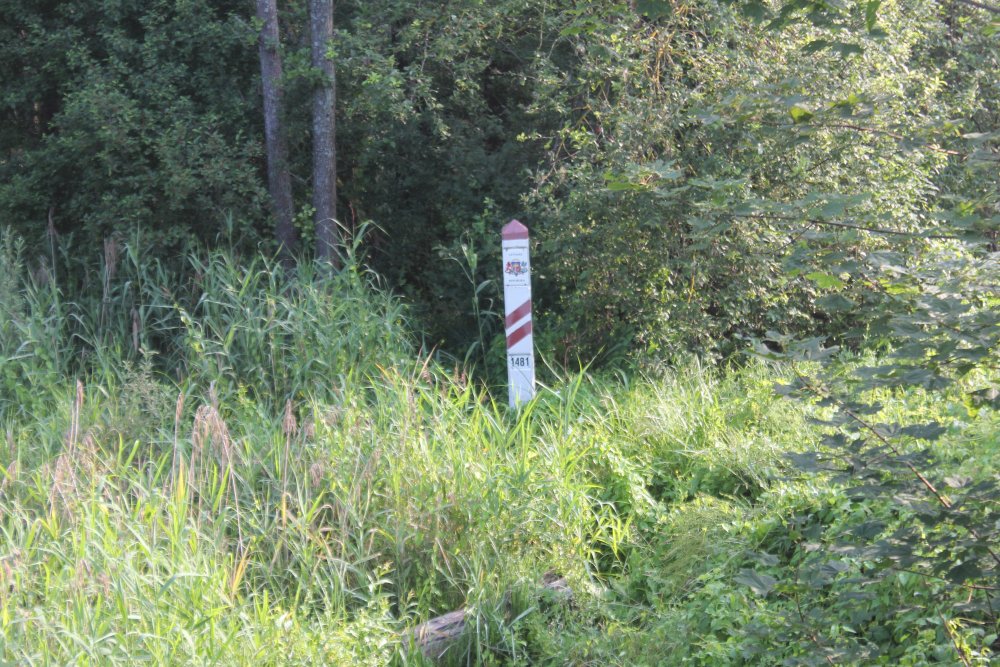
The
marker was located 13,3 m from the borderline.

Near
the bridge and the road we found indirect Latvian border marker 1482; here
watched towards northeast.

The
marker was located 13,5 m from the borderline; here watched from north.

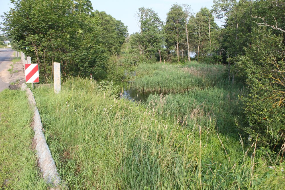
The
border river watched from the bridge towards southeast.

The
bridge watched towards northwest.