Jan S. Krogh's
Geosite: Byelorussian – Russian
(BYRU) border
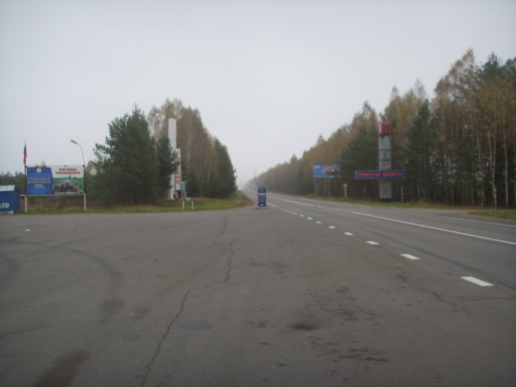
Border between Belarus and Russia east of Homel. The border is not demarcated but the borderline appears to be going approximately at the blue sign (below the "ROSSIJA" monument). Click on the image to get up a high resolution image.
Slightly wider view of the same area, photographed towards east. The borderline seems to follow the edge of the parking lot left-right (north-south) and further straight on the other (eastern) edge of the side road. Next to the sign with the Russian flag is a blue-painted Russian traffic insurance booth. The GPS position here is
52°26'33,5"N 31°36'29,8"E (141,2 m).
On the same location as the image over, but photographed towards west – the signs welcoming you to the Republic of Belarus. (All the area on the photo is Belarus.) Click on the image to get up a high resolution image.
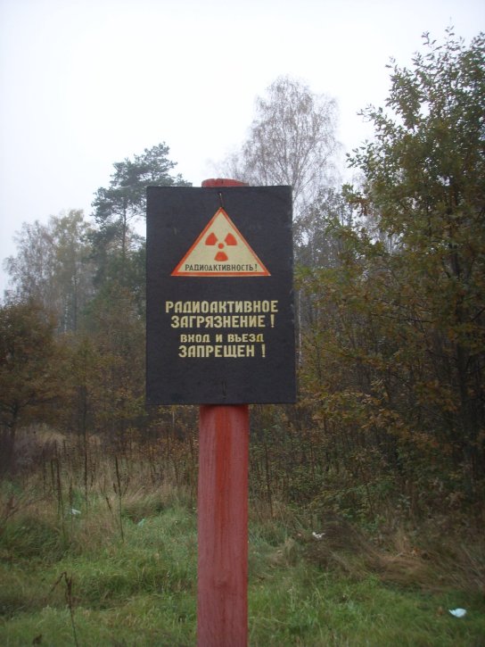
Warning against radioactivity in the area.
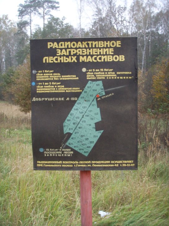
Byelorussian warning sign with information about grade of radioactive fields in the adjacent. The northern part of the sketch is actually showing the border area. Note that the borderline at the red spot is not touching the highway.