Jan S. Krogh's Geosite: Linken (DE) – Lubieszyn
(PL) Border Station and DEPL Border Marker no. 804
Only about 45 km of
Germany's 456 km land border towards Poland is dry border. This report
is from a very small part of the northern part of the German-Polish
boundary. The border at Linke/Lubieszyn
is located between German highway 104 and Polish highway 10, and about 12 km
west of the city of Sczcecin. This is the view from the boundary line
towards west. Visited on 6 July 2009.
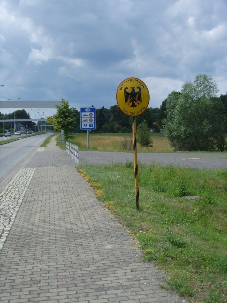
View from German side towards
east. Bordermarkers no. 804 and Polish coat-of-arms.
Close-up photo of the Polish
state border sign with coat-of-arms.
Between the Polish and the
German bordermarker no. 804 was this pole erected. "SBA NZ" is
most likely a shortening for "Straßenbauamt Neustrelitz"
(Neustrelitz Roads). The plastic pole is most likely marking the
0-point of highway 104. As other photos show it is not put exactly
on the borderline, but about 1 metre inside German side. Although
it is seldom to see any official markers, except of middlemarkers,
between state bordermarkers, we have here an example of the opposite.
Same pole as above, but from
the other side.
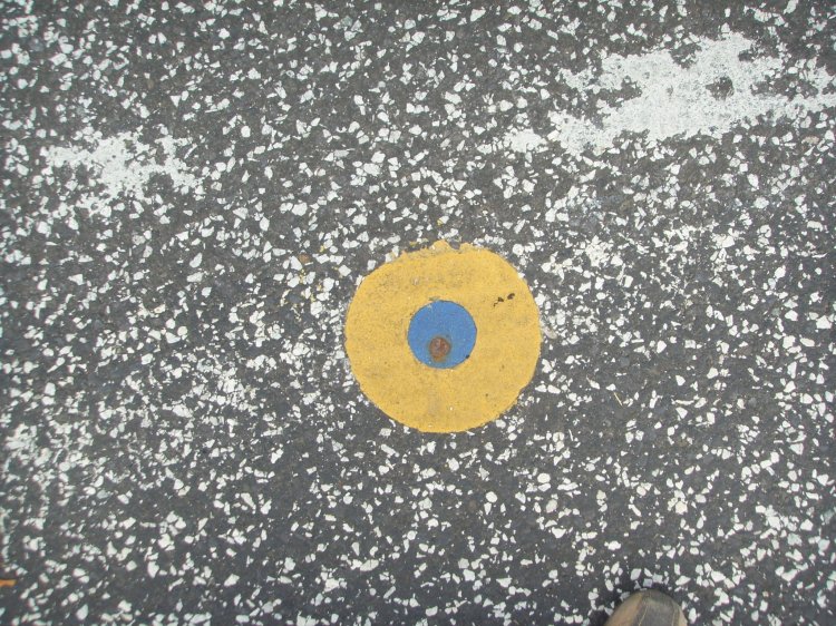
In the middle of the road we
found this sign. A metal marker inside a blue circle inside a yellow
circle. It is not known what this point is about.
Borderline from bordermarker
804 towards bordermarker 805. The circle on the photo above is clearly
on German side of the boundary. (Road pole to left.)
The former Lubieszyn passport
and custom station was more or less closed down after Poland joined
Schengen treaty.