| |
| Linken (DE) – Lubieszyn
(PL) border station maps
|
|
|
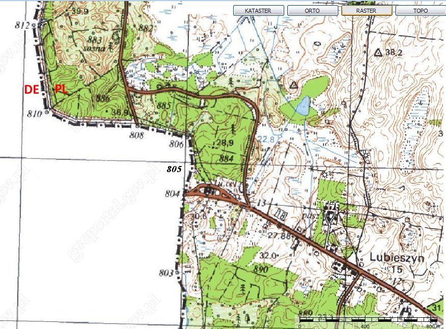
Linken – Lubieszyn border map. The
border changes direction at bm 804, 805 and 806. Image from Geoportal
Polska.
|
 |
|
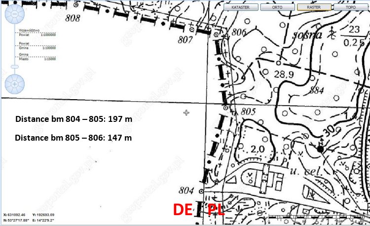
| Overview topomap from the
border area. (Distances are approximate.) Image from Geoportal Polska.
|
|
 |
|
| Until World War II the closest
German-Polish border was 155 km away from Linken, at present village of
Trzcianka (German Schönlanke) at River Noteć (German
Netze). ([Clickable]
Map from Politischer Hand-Atlas, Georg Westermann, Braunschweig, 1938.) |
|
This page was last time updated 05/04/10
.
|