Cyprus
- North Cyprus (TRNC) – United Kingdom (UK) (Under construction)
The
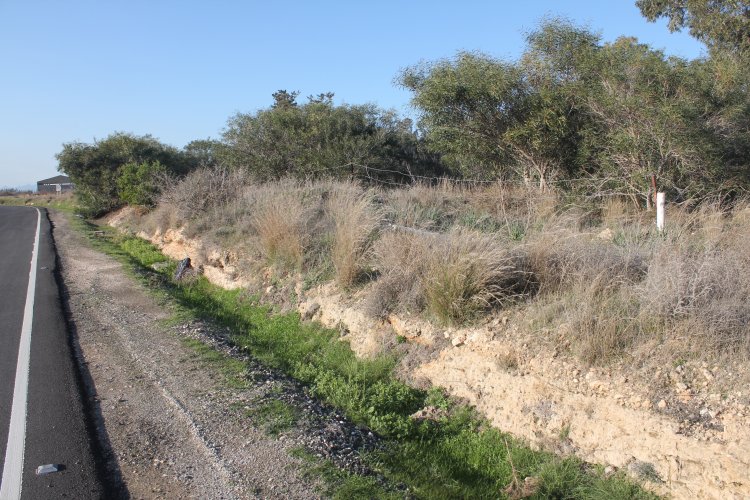
unrecognized North Cyprus borders United Kingdom's Sovereign Base Are of
Dhekelia.The boundary runs from west of the town of Pergamos until the
easternmost UN buffer zone east of the town of Vrysoules.
Ortophoto
of the road corridor between Dhekelia and Ayios Nikolaos Station. The
road corridor is mostly about 90 metres wide and 13 km long. The photos
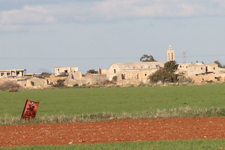
of the ghost city of Achna is taken from area 1. The Greek-Cypriot
population was after the 1974 civil war mostly evacuated as the arrow
shows into the SBA and the new, temporary village of Dasaki
Achnas.
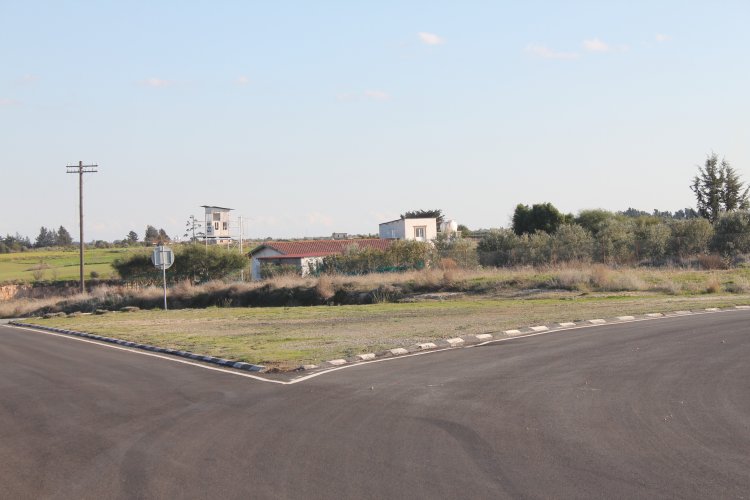
At
the roundabout in Area 2 we have photographed a border marker (BM), the
UN observation post 135 and a TRNC observation post.
Area
1: A
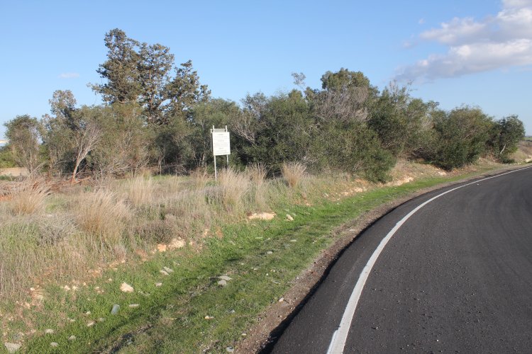
border marker between North Cyprus and UK's Eastern SBA of Dhekelia at
the ghost city of Achna. The sign is warning that one is leaving
the SBA in English, Greek and Turkish langauges.
A
sign is warning that it is Turkish military territory. In the background
we see the Church of Achna.
Area
2: A border marker east of the road at the traffic circle. The
TRNC-UK boundary goes along with the fence. TRNC
territory is behind the marker, while the road is ESBA, UK.
The
boundary is only about 8 metres from the road asphalt. The border marker
number had partly fell off and was unreadable.
The
northern part of the roundabout from northwest towards southeast.
The
warning sign was put where the boundary is on its closest to the main
road. At this point the boundary runs over a 70 m lenght along with the
main road (roundabout) with a distance of only about 8
metres.
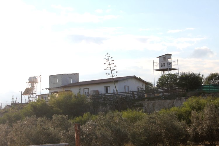
The
roundabout from northwest towards southeast and the UNFICYP Observation
Post 135, situated about 100 metres inside the UK ESBA.
UNFICYP
OP 135.
OP
135 from east towards west.
We
could only see a watch dog.
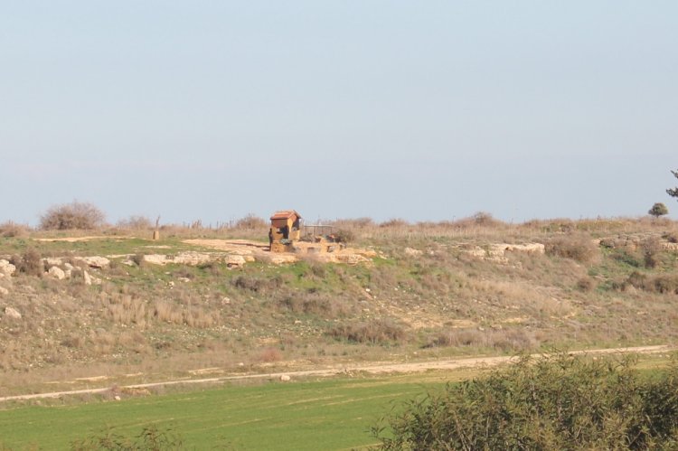
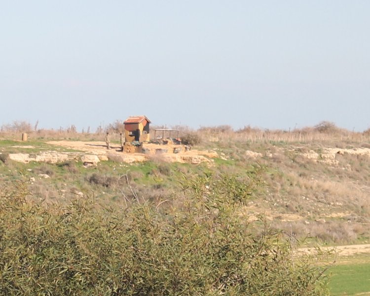
On
the northern side of the road, 500 metres northeast of UNFICYP OP 135,
we observed a TRNC observation post.
The
Turkish post seemed to be manned with two men and was situated 116
metres north of the TRNC-UK boundary.
Sources
1. –
This page was first time published
27.01.12. This page was last time updated 02.02.12
.