The Bosnia-Herzegovina – Croatia –
Montenegro tripoint photographed from north. The point was according to the
Montenegrese border guards not demarcated or marked. They said it was
allowed to visit the point.
Position:
42°33'21"N 18°26'17"E (WGS84).
Uncropped photo of the first image. .
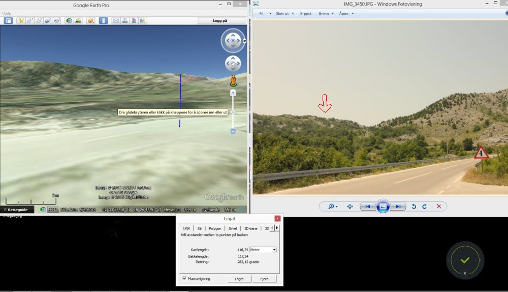
Orthomap showing from where the photo was taken (see arrow in the downer
right corner. Air distance was 2,06 km.
Maps
Bosnia-Herzegovian topomap of the tripoint. In the upper right corner we can
see the border crossing point.
Photo
from south east towards northwest. The tripoint itself is slightly hidden
from this point.
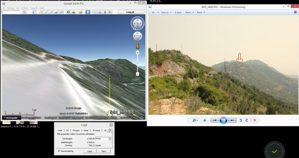
BPhoto from north towards
south (near the border crossing). Distance about 1 km, but the tripoint is
again on the other side of the ridge.
Calculation of the top image.
The
point was visited in July 2015.
Sources
and links
–
This page was first time made on 21 Sep 2015. This page was
last time updated
21/09/15
.