| Öræfi
|
|
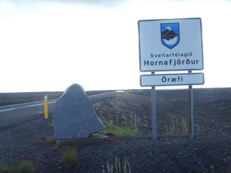 |
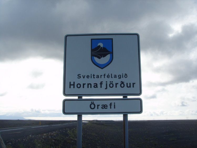
This
borderpoint at Öræfi is located
between Vestur-Skaftafellssýslu (in west) and Suður-Múlasýslu (in
east).
Öræfasveit or Öræfi (formerly Litlahérað) is the westernmost part in Austur-Skaftafellssýsla, between Breiðamerkursand and
Skeiðarár, east of Kirkjubæjarklaustur and south of Öræfajökull.
|
 |
| The county of
Austur-Skaftafellssýsla
lies between the Vatnajökull and the south coast, approximately from Eystrahorn in the east and to Skeiðarájökull in the West.
The geographical area of Austur-Skaftafellssýsla is the same as the municipality of Hornafjörður.
|
|
 |
|
| Hornafjarðarbær was a municipality in Hornafirði, Austur-Skaftafellssýslu county.
On 12th June 1994 it merged with Hafnar i Hornafirði, Nesjahreppur and Mýrahreppur.
The new municipality was however short-lived, only four years later, on 6 June 1998,
merged it Hofshreppur, Borgarhafnarhreppi og Bæjarhreppi under the name of
Sveitarfélagið Hornafjörður.
|
|
 |
|
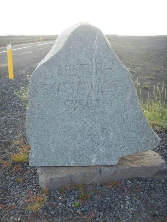
| Backsides of the monument and
signs – towards Skaftarhreppur municipality and Vestur-Skaftafellssýslu
county.
|
|
 |
|
| Boundary northbound towards
the glacier.
|
|
 |
|
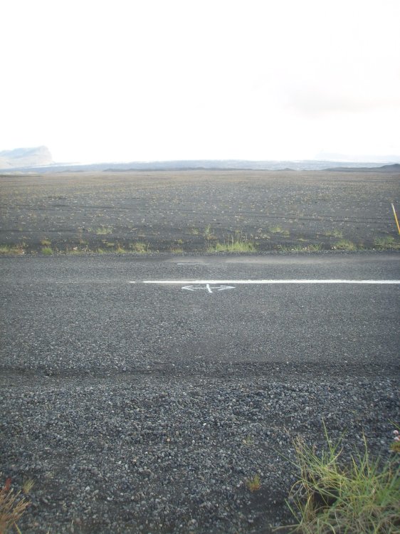
| Boundary southbound towards
the ocean.
|
|
 |
|
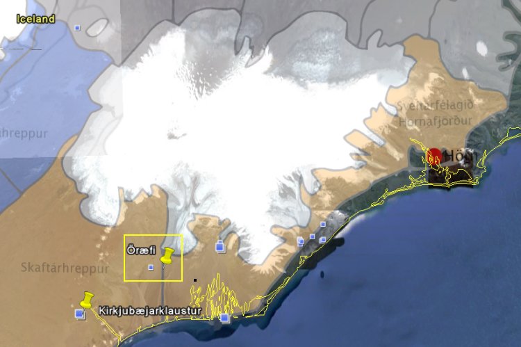
| The geographical location of
the boundary point. |
|