| Photos taken from north towards south

|
|
|
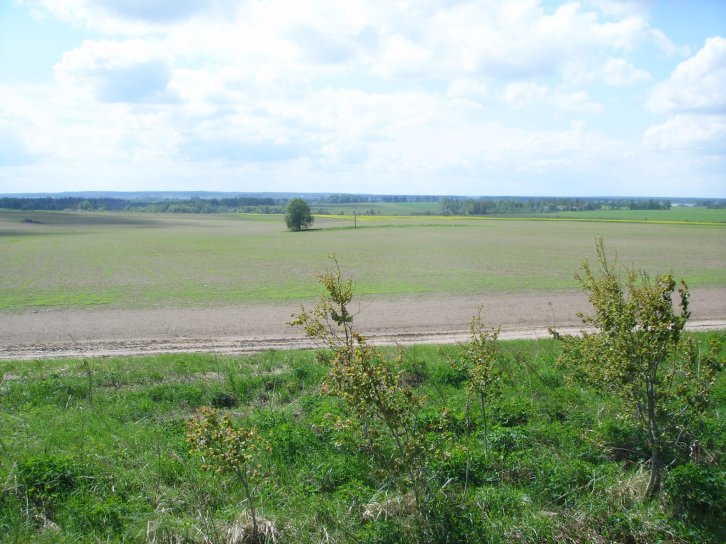
The photos on this page are taken from the
northern part of the former exclave/enclave and towards. The upper photo
is taken in southern direction towards the former farmstead.
|
 |
|
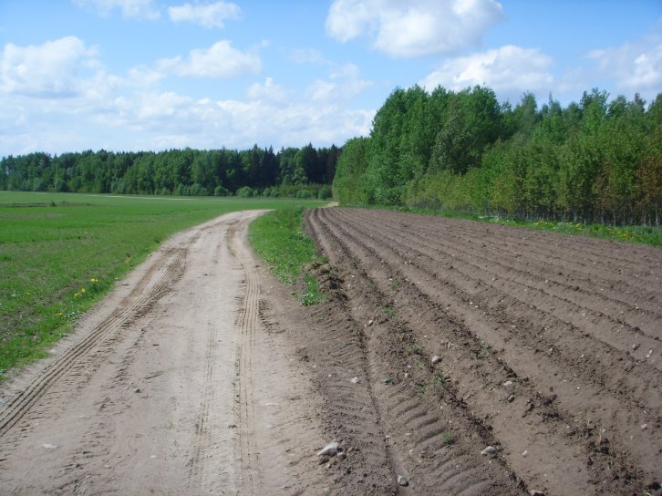
The road in
front of the photographer was just inside the enclave. Land in front of
the road was Byelorussian. |
|
 |
|
|
The road in
front of the photographer was just inside the enclave. Land in front of
the road was Byelorussian. |
|
 |
|
|
The road in
front of the photographer was just inside the enclave. Land in front of
the road was Byelorussian. |
|
 |
|
|
The farmstead
in background. |
|
 |
|
|
Former
Lithuanian territory to left of the road's right edge. |
|
 |
|
|
Former
Lithuanian territory to left of the road's right edge. |
|
 |
|
|
Former
Lithuanian territory to right of the road's left edge. |
|
 |
|
|
Former
Lithuanian territory towards east. |
|
 |
|
|
Former
Lithuanian territory towards southwest. |
|
 |
|
|
Former
Lithuanian territory towards south. |
|
 |
|
|
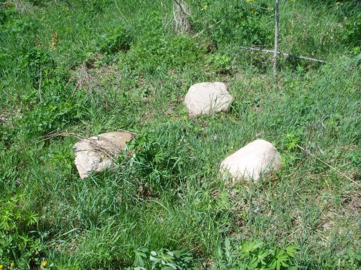
Stones near the
former administration line, but not former bordermarkers! |
|
 |
|
|
Stones near the
former administration line, but not former bordermarkers! |
|
 |
|
|
Former
Lithuanian territory towards east. |
|
 |
|
|
Former
Lithuanian territory to right of the road's left edge. |
|