Cyprus
- Dhekelia Power Station (under construction)
Dhekelia Power Station is one of three power plants belonging to the Electricity Authority of Cyprus. It is located approximately 15 km east of the city of Larnaca and it has a capacity of 460
MW. Following the 11 July 2011 Evangelos Florakis Naval Base explosion, approximately 60MW of rented mobile generators
were by December 2011 installed at this station.
The original plant was the first of the company which started building it in the mid-1950s. Completed, it consisted of seven steam turbogenerators with a total capacity of 84 MW. As the machinery grew old and demand rose steadily, a new plant was built next to the old.
Built in five phases, the current power plant consists of six steam turbines, each of a capacity of 60
MW and six diesel engines of approximately 17 MW each. All boilers burn heavy fuel oil and were built by Waagner Biró. The first two turbines and generators were supplied by Siemens and came online in 1982 and 1983. Turbines 3 and 4 were made by Toshiba and the corresponding generators by Alsthom and came online in 1986. The steam plant was completed with the supply of turbogenerators 5 and 6 from Bharat Heavy Electricals in 1992 and 1993. The six diesel engines run on either heavy fuel oil or diesel oil with the first three being two-stroke MAN ones erected by Mitsui in 2009 and the other three being four-stroke ones manufactured by Wärtsilä in 2010.
The original plant was demolished in the early 2000s.
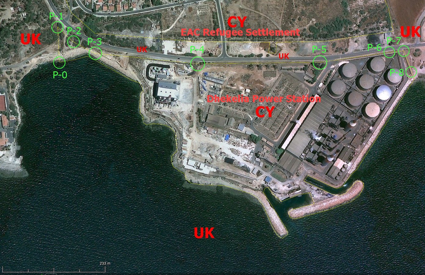
The
Dhekelia Power Station enclave is completely surrounded by UK's ESBA
territory. The 16,1 ha territory is about 780 m west-east and about 440
m north-south. North of the this exclave is another Cypriot exclave, the
EAC Refugee Settlement, only separated by a UK 45-50 metres wide road
corridor. The closest point between the two exclaves are 21 metres (near
the mast).
The
Dhekelia Power Station enclave/exclave is the southern Cypriot enclave
inside the UK's Sovereign Base Area (SBA). In this picture it should be
possible to observere position "P-3" (Geosite number only),
but we did not find it.
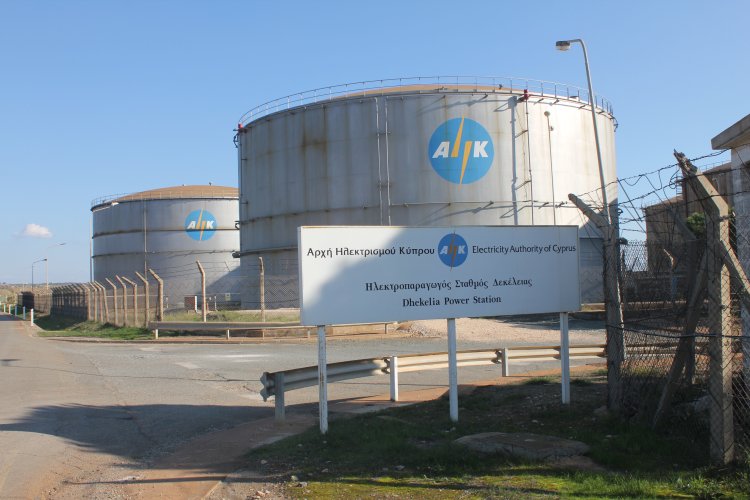
The
Power Station belongs to the Electricity Authority of Cyprus. Nielsen's
report pictures marker "P-5"
about 10 metres west of this sign. 3)
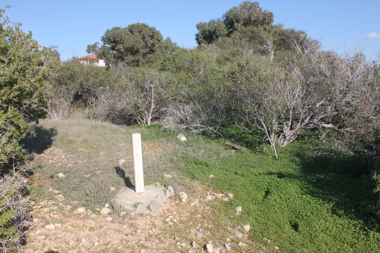
The
north western border marker is situated close to the fence to the
Dhekelia Garrison. Position "P-1" is visible next to the fence
in the left part of the picture. Also an EAC Settlement
bordermarker is visible in the right part, at the street.
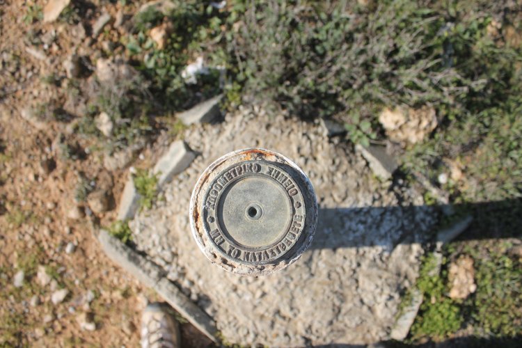
The
marker "P-1" seems to tell the survey was made by the Department of Lands and Surveys of Cyprus.
No readable border marker number was observed. 1)
Marker
"P-1" from north towards south.
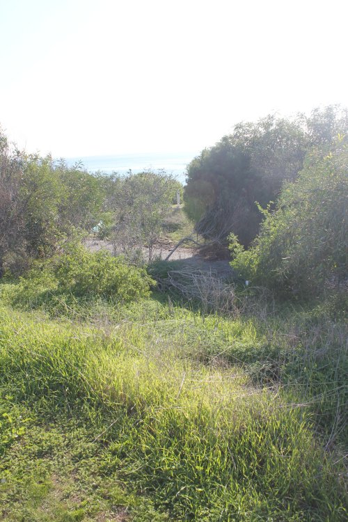
Position
"P-0" at the sea, no demarcation. (Fallen fence.)
Position
"P-2" observed from the road.
"P-2"
observed from northeast towards southwest. No readable border marker
number was observed. In the background is Saint
Nicholas.
"P-2"
from southwest towards northeast.
"P-2"
towards east.
Top
plate was of Cypriot type.
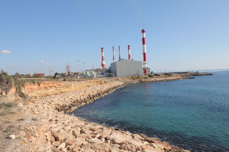
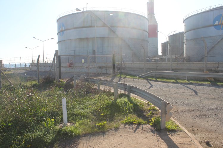
Power
plant from the road, pictured between "P-4" and
"P-5". but none of these markers are visible on this photo.
Marker
"P-7" from northeast towards southwest.
"P-7"
from east towards west. On the other side of the road, in about 23 m
distance, we can barely see "P-6" where the boundary also
changes direction slightly in a more southeastern direction.
No readable border marker number was observed.
Marker
"P-8" in direction towards "P-7".
"P-8"
was the south eastern border marker found at this enclave. The distance
to the sea was about 10 metres. From this one may lead that artificial
dry land between the power station and the sea is located on the SBA
[sea] territory.
"P-8"
seemed to be numbered no. 29, but it was difficult to read. The marker
was of a concrete type.
From
"P-8" towards the sea. We did not observere any demarcation
between "P-8" and the sea, maybe due to that this is the
natural shoreline.
From
the southeastern corner of the enclave towards southwest.
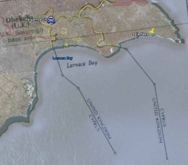
This
map shows that the territorial sea water outside the Eastern SBA belongs
to United Kingdom 2).