The
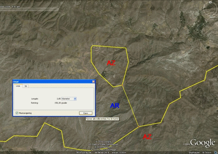
Azeri enclave and exclave of Kiarki is completely surrounded by Armenian
territory. The shortest distance from the exclave to Azerbaijan proper
is about 3,85 km. The enclave is about 3,41 km from north to south and
about 3,39 km from west to east. The Armenian province of Ararat surrounds the
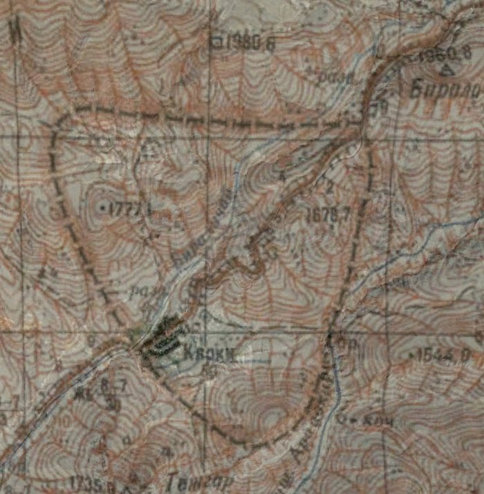
Kiarki exclave of Nakhichevan which (according to Wikipedia) has been controlled by Armenia since its capture in May 1992 during the Nagorno-Karabakh War.
Soviet
and Azeri topomaps in an animation together with an ortomap. It does not
look like the border has changed here.
Topographic
map of the exclave of Nakhichevan. West of Kiarkia there are two
tripoints (Armenia-Azerbaijan-Turkey (AMAZTR) and
Azerbaijan-Iran-Turkey (
AZIRTR)) with only about 10,9 km distance, making it one of the
shortest distances between two national level tripoints. (Map: Dövlet
Torpaq ve Xeritecekme Komitesinin, Baki Kartografiya Fabriki 2005-ci il,
from dtxk.gov.az in March 2010.)
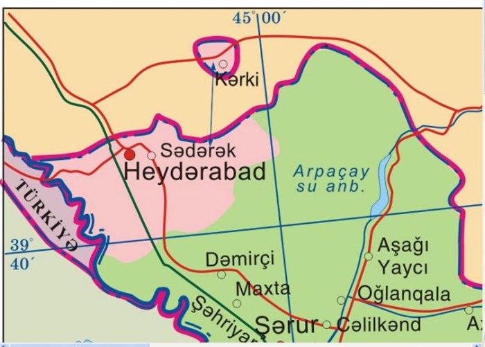
Administrative
map over Heyderabad municipality of Nakhichevan exclave. Kiarki is
belonging to Heyderabad.
(Map: Dövlet Torpaq ve Xeritecekme Komitesinin, Baki Kartografiya
Fabriki 2005-ci il, from dtxk.gov.az in March 2010.)