| |
|
Els
Límits / Le
Perthus (ESFR) Border Maps (under construction)
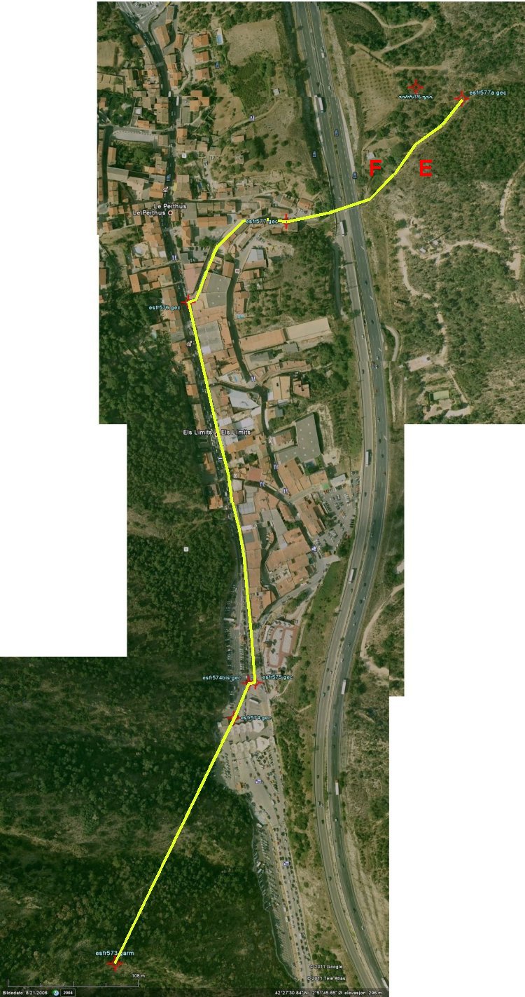
Orthophoto
over Le Perthus/Els Limits. (Click on the image to get a bigger
version.) |
|
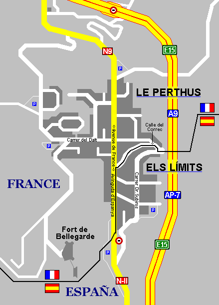
This
map gives a very accurate reproduction of the city streets borders.
Source: User Локоmotiv, Wikimedia. |
|

France and
Spain shares this small city. |
|
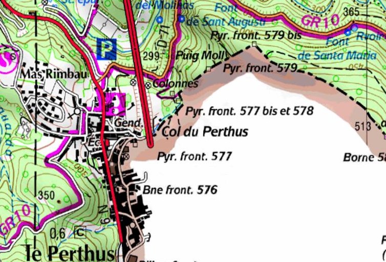
French
topo map. |
|
This page was last time updated on 25.10.11
|