Jan S. Krogh's
Geosite: Czechia - Slovakia Boundary Hrcava (CZ) – Svrcinovec (SK) under
construction
From
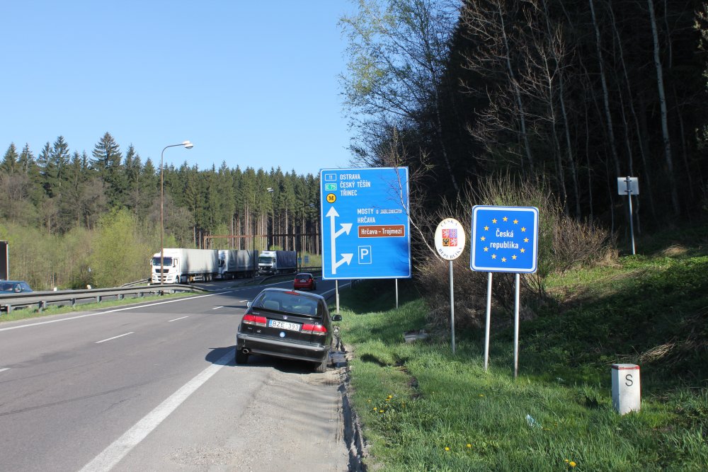
Slovakian side and towards Czechia. Border marker I/10.
Border
marker I/10.
Border
marker I/10.
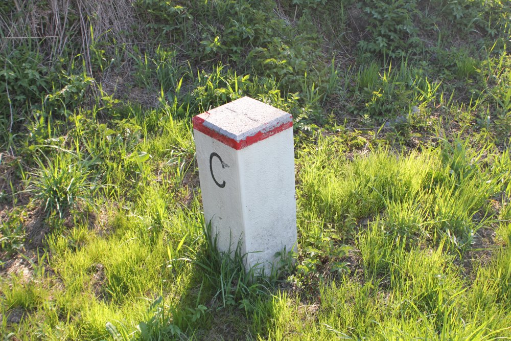
Middle
marker I/10/2.
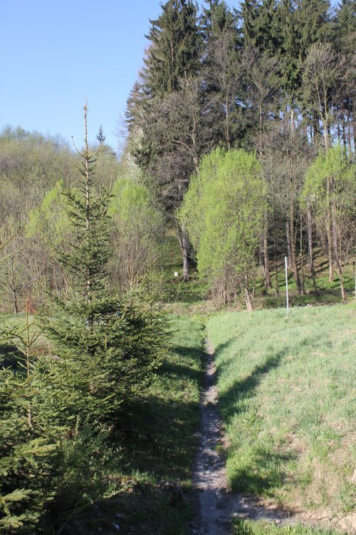
From
middle marker I/10/2 towards middle marker I/10/3.
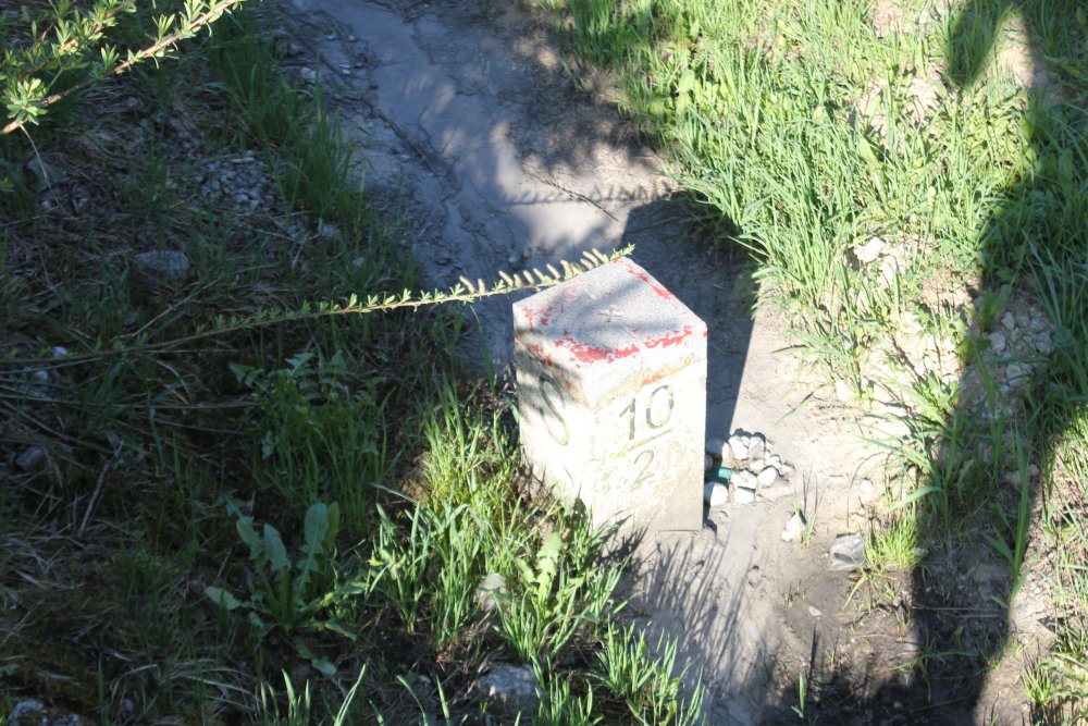
Middle
marker I/10/3.
Cropped
image of middle marker I/10/3.
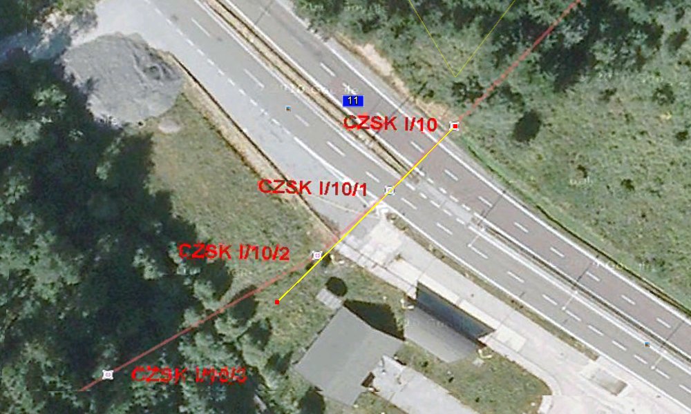
Ortomap
from Statni Hranice Site with the positions of the markers. Note
that there is no photo of middle marker 10/1, and that 10/1 is a turning
point. Probably this point was at the side of the original
road. (The yellow line is a straight beaming line only.)
Pre-1993
topographic map.
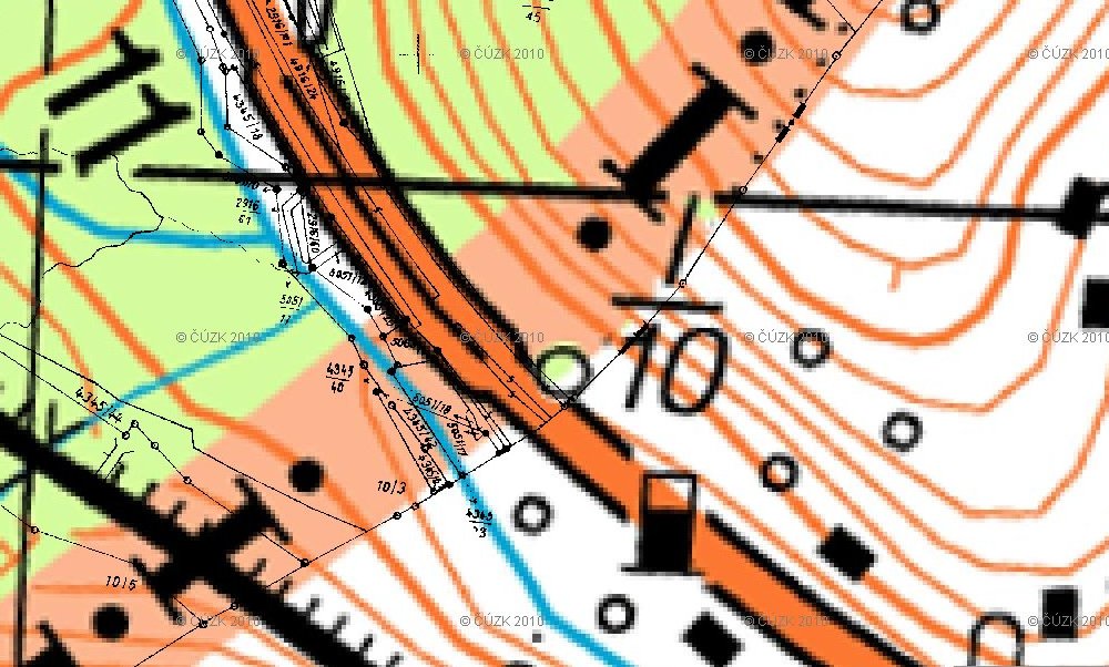
Cadastrial
map on a Czech topographic map.
Sources
and links
–
–
This page was first time made on 4 June 2012. This page was
last time updated 04/06/12
.