One enclave in Azerbaijan around the
village of Artchvašen,
which (according to Wikipedia) has been controlled by Azerbaijan since
its capture during the Nagorno-Karabakh War in 1992.
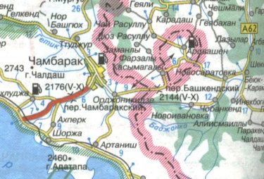
Official
Armenian map (from gov.am at March 2010) showing the exclave on the map.
The Armenian exclave of Artchvašen is
surrounded by Azerbaijani territory. Air distance south - north is about
9 km, and west - east is about 6,4 km.
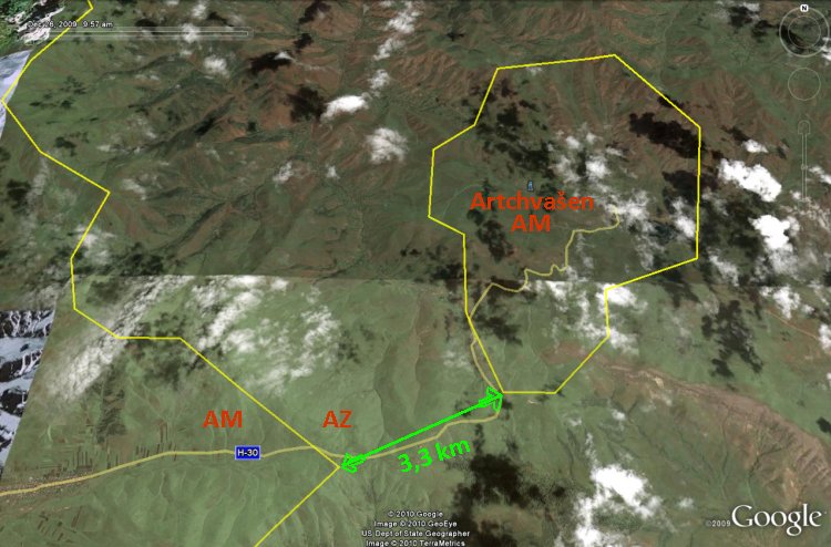
The
ortomap boundaries are more or less correct. Air distance from
Armenia proper to the closest enclave borderpoint is about 3,3 km.
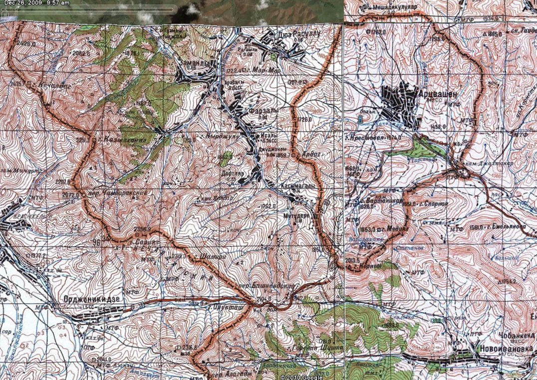
About same area
as on the ortomap above, but this is Soviet topomap. I have no
information on any boundary correction in this area. (Click on the
image to get up a high resolution map.)
Azerbaijani
topomap which tells us that this country still accepts Armenia's claim
on the enclave. (Source: Fiziki Xerite, 1:3.150.000, Dövlet Torpaq ve Zeritecekme Komitesinin, Baki Kartografiya Fabriki 2005-ci
il, from dtxk.gov.az in March 2010.)