|
Photos from Medvezhe

|
|
|
Intersection to Medvezhe looking east.
|
 |
|
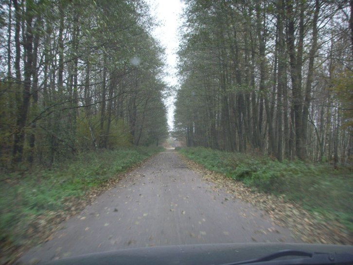
A beautiful long
allée takes us to the village.
|
|
 |
|
|
Most of the houses seems to have disappeared. A huge numbers of sand piles witnessed about relatively recent renovation.
|
|
 |
|
|
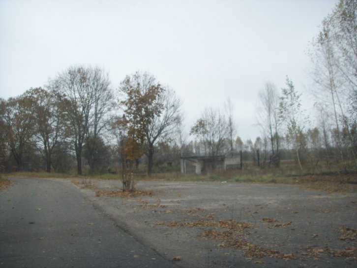
This square appeared to have been the centre of Medvezhe. Only a framework of a building was left. Notice that It is here the Medvezhe street curves northeast.
|
|
 |
|
|
This bus shed next to the village square was the less destroyed building in the entire exclave.
|
|
 |
|
|
A few houses had not collapsed, but it was not possible to see if any of them had been recently used.
|
|
 |
|
|
At the beginning of the curve the eastern exclave border meets the Republic of Belarus along a ditch. The birch trees are in Belarus. From this point there is only about 3 km through a Byelorussian forest road to mainland Russia. This route is frequently used by alcohol and cigarette smugglers transporting cheap Byelorussian contraband.
|
|
 |
|
|
The eastern borderline (from north towards south) is following the ditch or edge of forest.
|
|
 |
|
|
The eastern borderline (from south towards north) is following the ditch or edge of forest (approximately in the middle of this photo.
|
|
 |
|
|
Many places inside Byelorussian territory we found atomic warning signs put up on trees.
|
|
 |
|
| Photo of the forest road taken east of the exclave (photo towards northeast). |
|