| Büsingen border marker 7
|
|
|
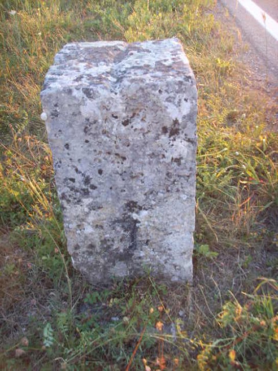
Büsingen border marker no 7 seen from
west towards east. "1839" is the year of border agreement between Baden
and Switzerland of 1 March 1839. This marker is located on the southern
side of the road.
|

|
|
Büsingen border marker no 7 seen from
above. Up = east and down = west. The line is showing the border is
going northwest–northeast and is changing direction. Since border
marker 9 (and maybe also border marker 8) is located on the northern
road side the road is at this point passing through Switzerland once
more, namely here west of marker 6 (which is located at the road cross).
|
|
|
|
|
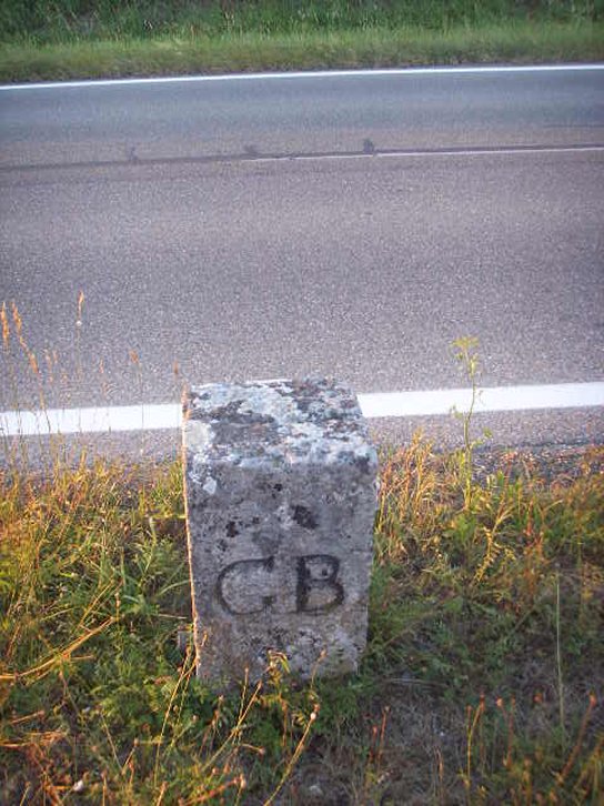
Büsingen border marker no 7 seen from
south towards north. GB = in
this direction is the (former) Grossherzogtum Baden. (If there
has been a "B" below, it is very difficult to see.)
|
|

|
|
|
Büsingen border marker no 7 seen from
north towards south. CS D = in this direction is the Canton Schaffhausen
– Dörflingen.
|
|
|
|
|
Büsingen border marker no 7 seen from
east towards west. Here is number of the border marker engraved.
|
|
|
|
|
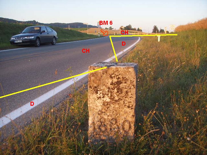
Area photo seen towards east. Border
marker 6 which is a corner is a metal plate located in this road cross.
|
|

|
|
|
Büsingen border marker no 7 seen from
north towards south in distance.
|
|

|
|
|
Area photo seen towards west. Border
marker 8 should is probably visible somewhere in the middle of this
photo.
|
|

|
|
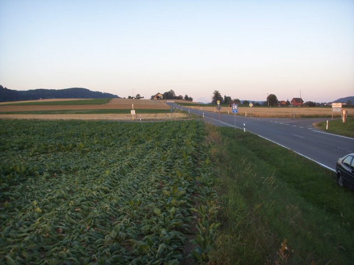
| Area photo towards north. The village of
Dörflingen is visible in the upper right corner. |
|