Jan
S. Krogh's Geosite: Visit
to Russian Vištytis 2011
From
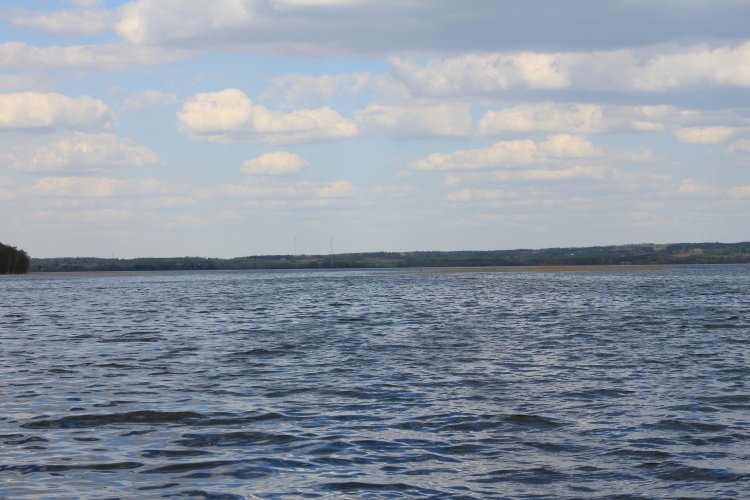
Russian side of Vištytis towards east. Russian lake radar surveillance
station. From the point the photographer was standing it is only about 160 m to
Lithuania.
Immediately
after our arrival an officer from the military station checked our
documents.
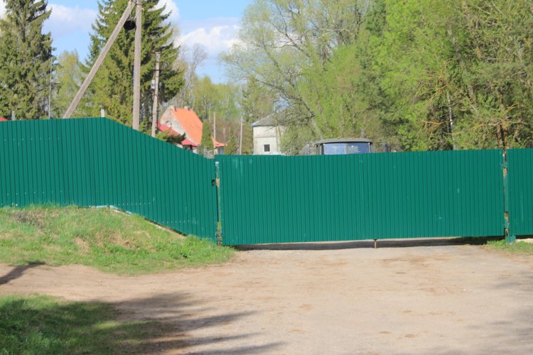
Over
the fence are to left the former 7, Dariaus ir Gireno street (present no
20) and to right the grey old customs building, now police station, at
present no 18, Dariaus ir Gireno street.
This
is the
only dwelling in the Dariaus ir Gireno street which ended up permanent on
Russian side. The two other farmsteads were on 1 Feb 2004 transferred from Russian to
Lithuanian side after about more than teen years locked up inside Russia.
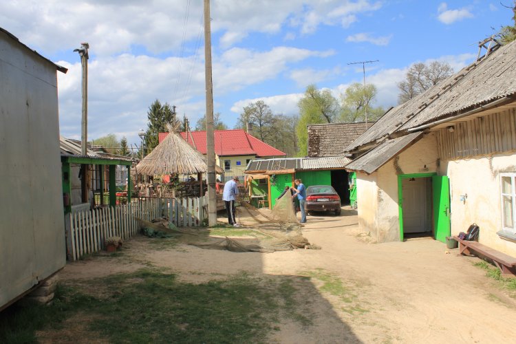
Mrs
Marytės family is today the only family on Russian side. The fish
smoking factory is closed down, but a camping place with cabins is under
construction further 100 metres down the street. Mrs Marytė is also
renting out a small cabin for tourists. There is also an environmental
office behind their farm (the yellow building).
Hans
Peter Nissen and Jan S. Krogh interview Mrs Marytė Ūkelienė.
(Photo: Linda Nordstrøm Nissen.)
Hans
Peter visited Russian Vištytis in 2003 during the Great Baltic Border
Expedition (GBBE). Then, when there was no fence yet, he walked the way
over the administration line from Lithuanian Vištytis and back again. (Photo:
Linda Nordstrøm Nissen.)
Marytės
house has still the old house number 3 in Dariaus ir Girėno street
from when it still was connected with the Lithuanian part.
The family of five is living from fishing,
tourism and pension from Lithuania.
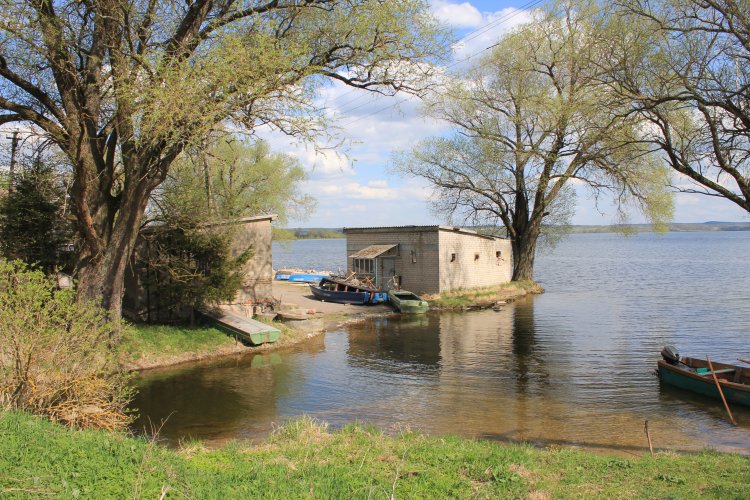
Russian tourists rent boats and fish on the
lake – or picnic.
Russian
tourists and Russian registered row boats.
Old
harbour in the western side of the village.
This
is the bridge over River Pisa. Behind we see the now closed-down fish
smoking factory. (Photo: Linda Nordstrøm Nissen.) Photos from the 1990s when the fence still was not there can be found here.
Behind
this bush one can get a glimpse of a water level regulating system between
Lake Vištytis and River Pisa.
A
Lithuanian registered car in Russian Vištytis. Photographed towards west.
Here is the pasture the Lithuanian farmers lost access to on 1 Feb 2004
when the new border treaty was effective. (Photo: Linda Nordstrøm
Nissen.)
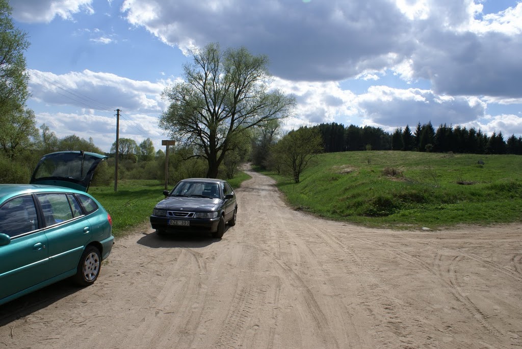
Road
junction at the highway and 1,95 km km by road west of Russian Vištytis.
To left Uvarovo 9 km and to right Nesterov 23 km.
Same
point as last photo, but towards east and Vištytis direction. This is the crossroad up to Vištytis from the mainroad. By road it is 2 km to Mrs Marytė's house. The blue sign is advertising the tourist company arranging trips on the lake. Maybe it is the same constructing the datchas.
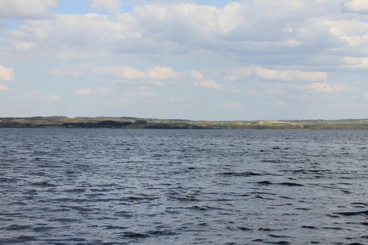
From
the western bank of Lake Vištytis northeastwards the Lithuanian side and
Vištyčio laukas.