|
Valga/Valka boundary post 201-202 Maps |
|
 |
|
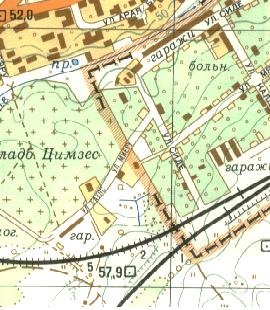
The street on the
Soviet topographical 1988 map sheet (O-35-76;77). It seems the Latvian
name is Gaujas, while the Estonian is Mieri.
Note the building next to the border in the
end of Mäe street. Maybe a garage. Not observed at border visit. |
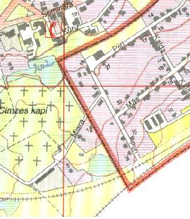 |
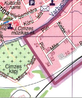
| This image is
taken from a Valga-Valka town map 1:10.000 (1993?) published by AS E. O.
Map. («Uzmërïja: Juri Vanaveski; uzzïmëja: Kalle Remm.»)
On this map the entire street has the name
of Miera. The house on the photo has here got house number 7.
(On this map the twin-streets of
Savienibas and Põhja are by unknown reasons both included on Estonian
territory.) |
|
 |
|
|
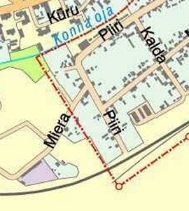
Image from an
internet map from E. O. Map (1999). The small buildings on this image were
not observed at our visit.
|
|
 |
|
|
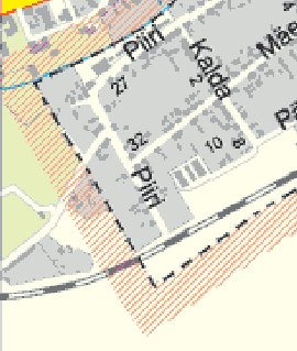
Map image is from
a received scan of an Estonian published Valga map 1:20.000
|
|
 |
|
|
Map image from
Valka-Valga town plan 1:20.000 published 2003 (map data of late 2002).
Here the street is closed. The street has now two names, both Gaujas and
Miera. The remaining part on Estonian side is not drawn up on this map.
|
|
 |
|
|
Map image from the
Estonian State Border Service's map (2003). The street ends at the
boundary, and the remaining Latvian is visible as an approach to the
houses at 24-26 Piiri street.
|
|