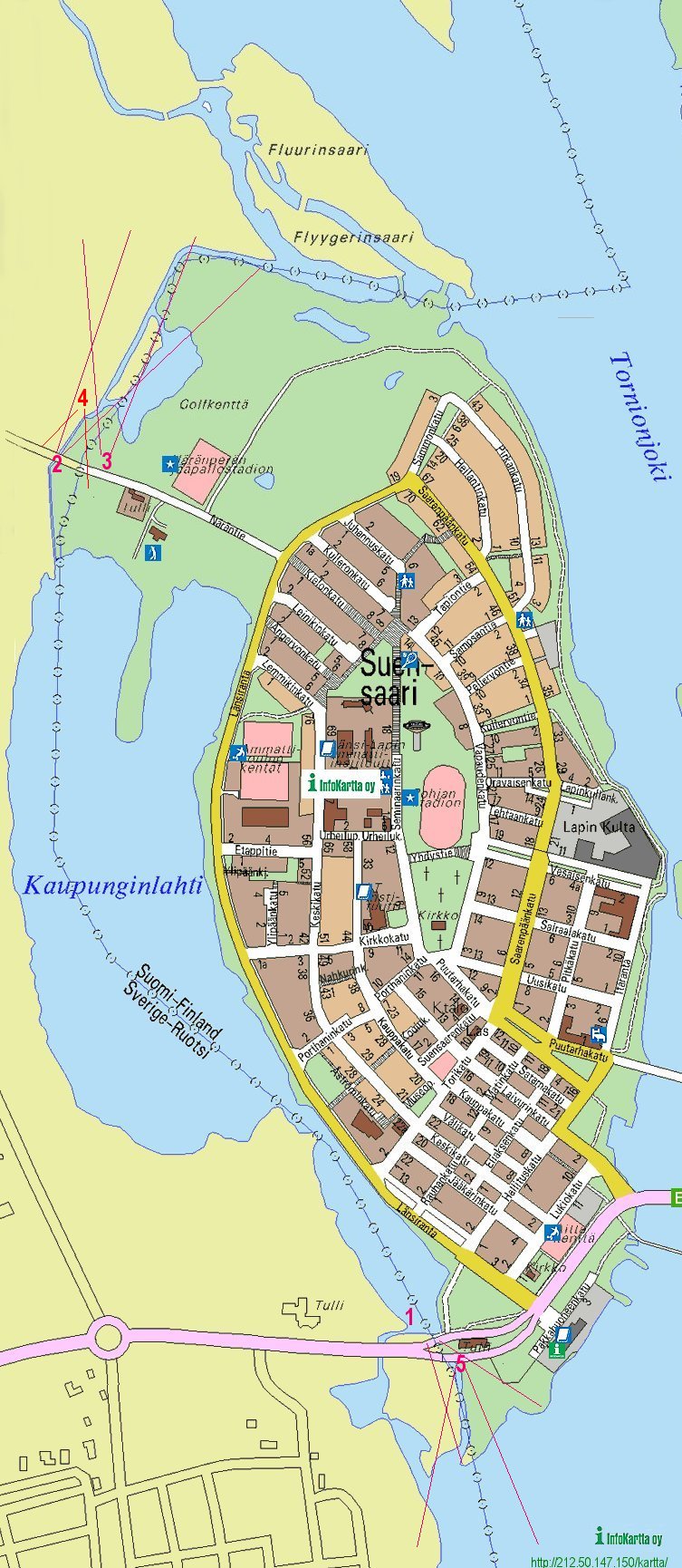
Tornio/Haparanda Map
Below are the photos' positions shown.
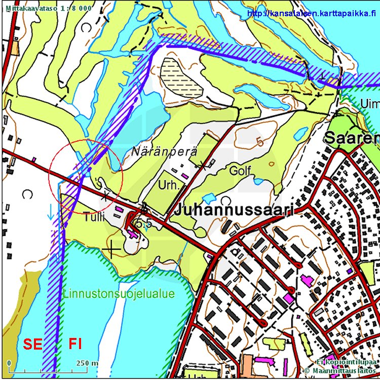
As shown on picture 5 this small headland might be a Swedish pene enclave.
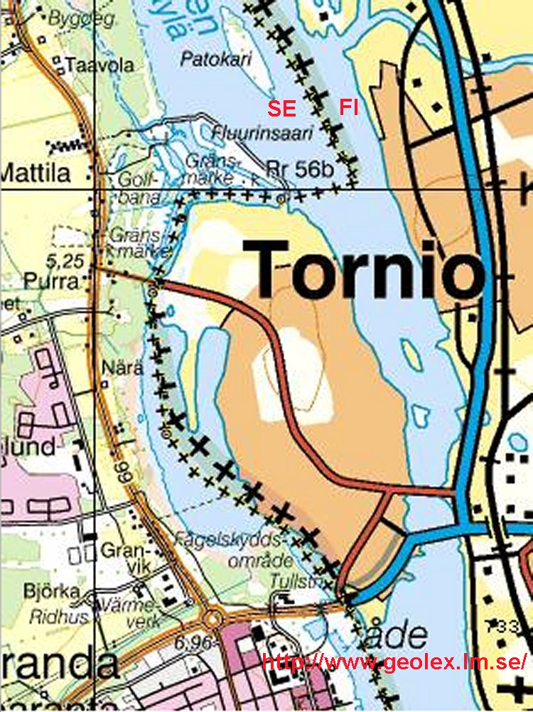
In the northern part it also might be one more Swedish pene enclave on the
eastern river bank, and one border penetrated islet.
(Bi-country
golf courses are not that rare as one should believe. Now Cambodia, Laos
and Thailand are planning a 27-hole tricountry golf course (with 9 holes
in each country) in the new named «Emerald triangle». According to
Reuters the proposed site is in Ubon Ratchathanee province's Chong Bok
town, 650 km northeast of Bangkok, next to Laos' Champasak province and
Cambodia's Prea Vehear mountain. The idea is to to turn a
landmine-infested area bordering Laos and Cambodia into golfing paradise.)
Source:
Watershed Vol.7 No.3 March – June 2002: Power to Choose
News & Update
: «Dying to play golf? The Thai government has plans for you…
»