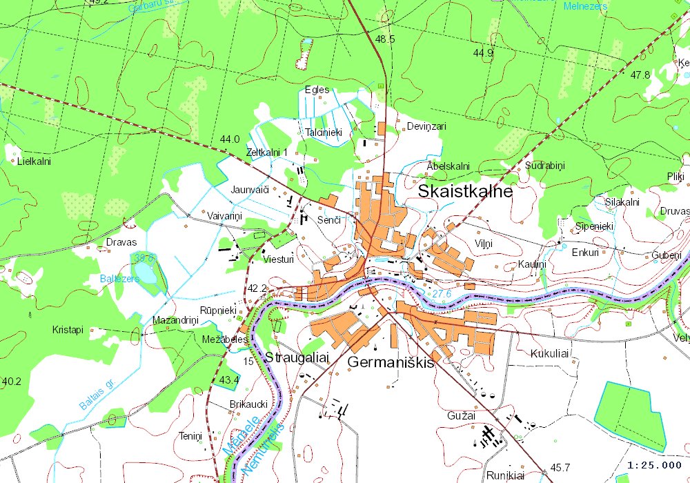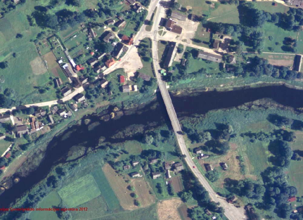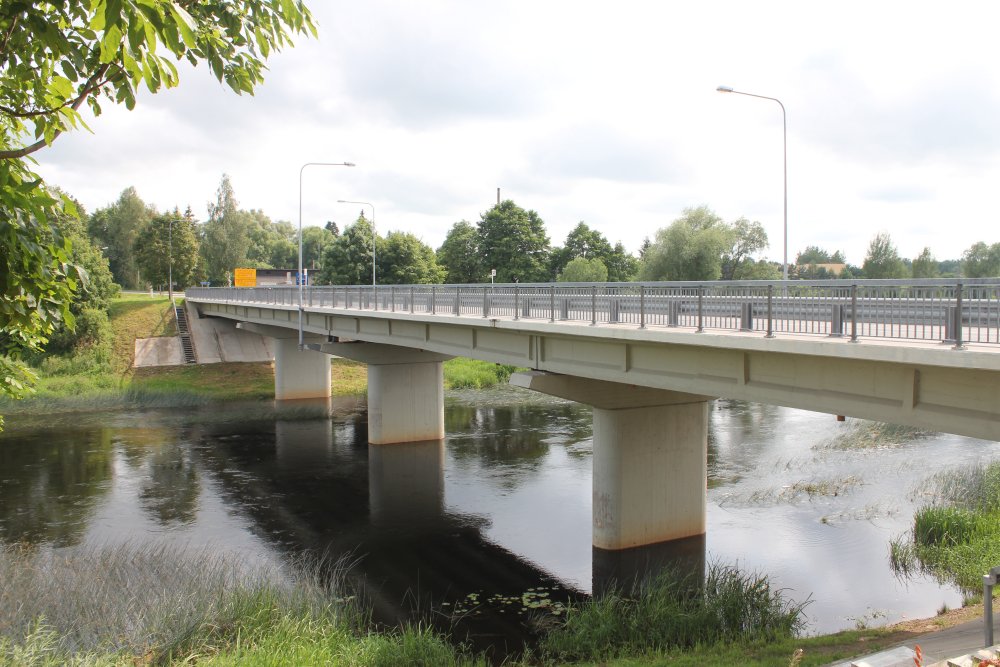
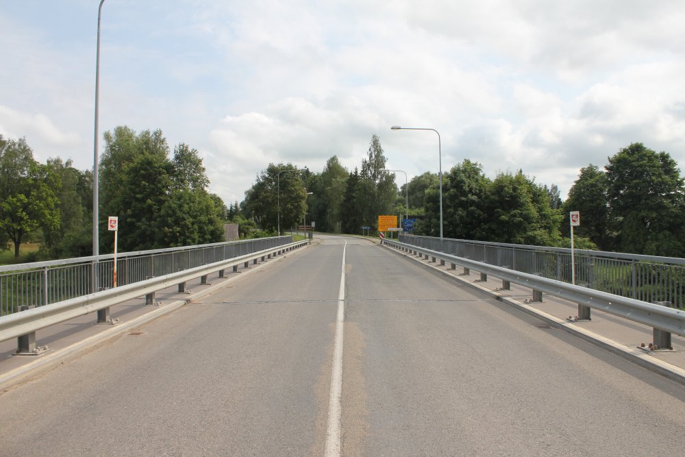
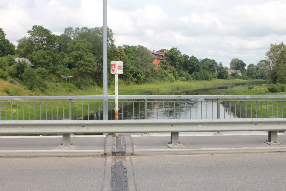
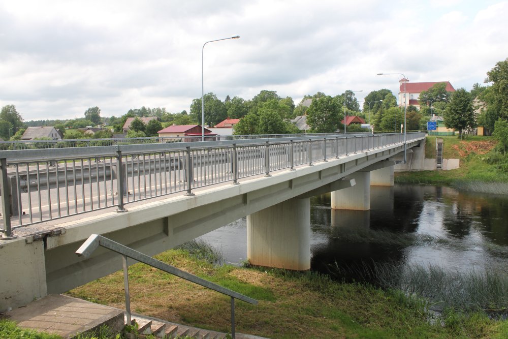
The
border bridge over River Nemunėlis (Lithuanian) or Memele (Latvian)is about 90 metres long and connects the Latvian village of
Skaistkalne (pop. 850) with the Lithuanian village of Germaniškis (pop.
430). The boundary runs in the middle of the river which is only about 50
m wide here. This photo is taken from Latvian side towards
Lithuania. All photos are from July 2012.
Position of border on bridge (appr.): 56°22'41"N 24°38'41"E (WGS84)
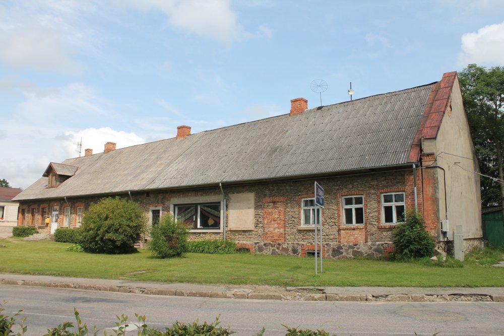
The
first permanent building on Latvian side.
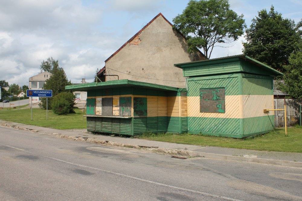
The
former Latvian border station which was in operation until 21 Dec 2007.
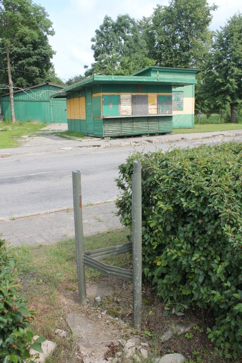
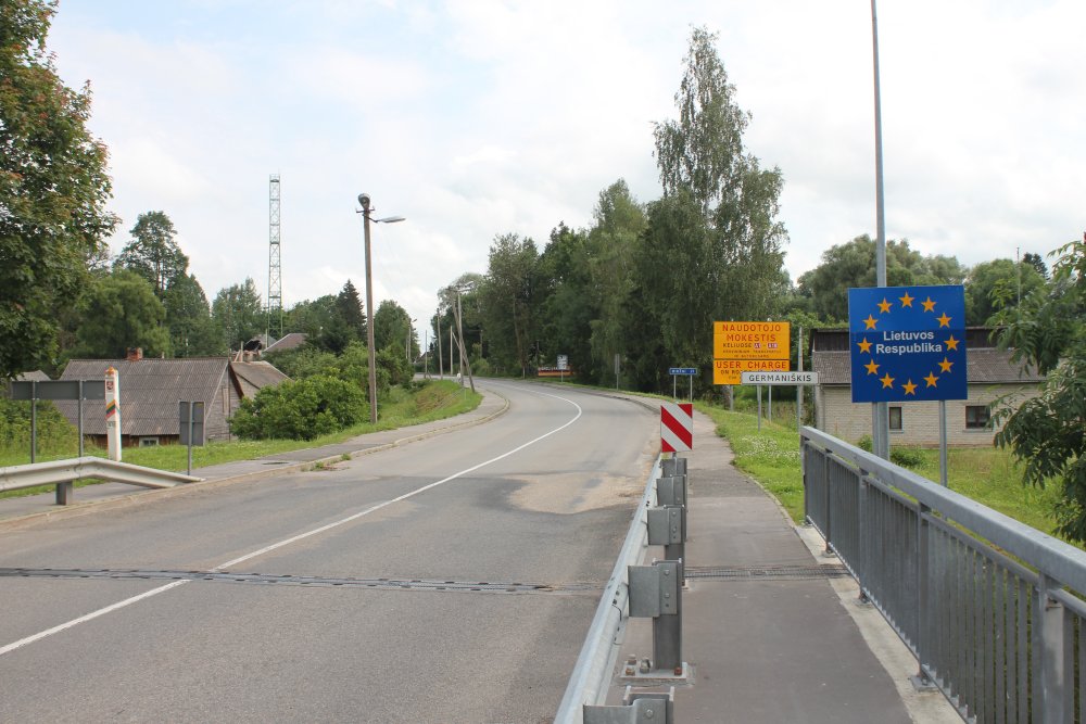
Sign
pole remains still stand next to the former check point.
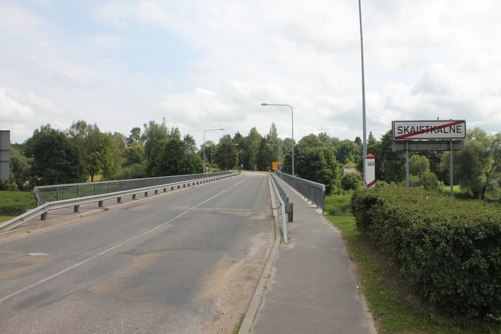
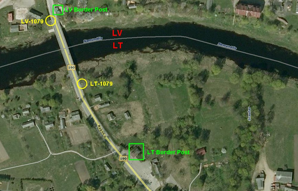
View
towards south and Lithuania. Indirect border marker LV-1079 stands
next to the bridge.
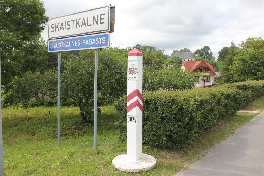
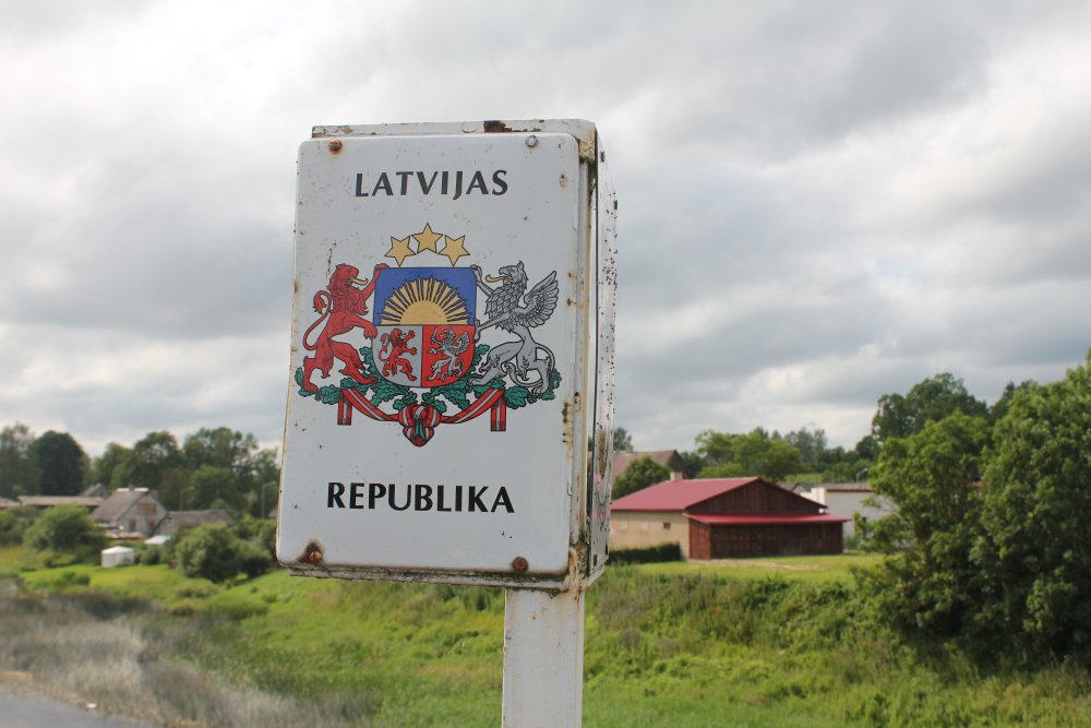
The
Latvian marker from south to north. The sign tells one enters Skaistkalne
parish. Until 1925 the name of the village was Šēnberga (of German Schönberg -
literally "beautiful mountain") but was then Latvianized, while the meaning of the name
remained unchanged.
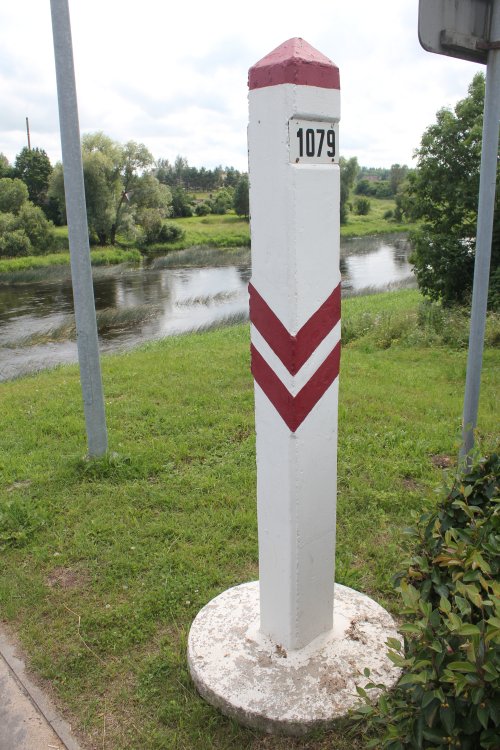
The
same Latvian marker no. 1079 towards south.
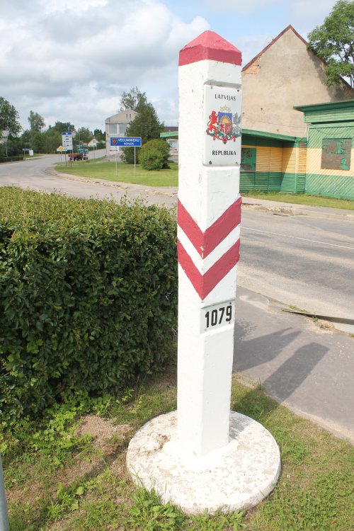
Marker
1079 with the check-point and the Vecumnieki municipality
road sign in the background.
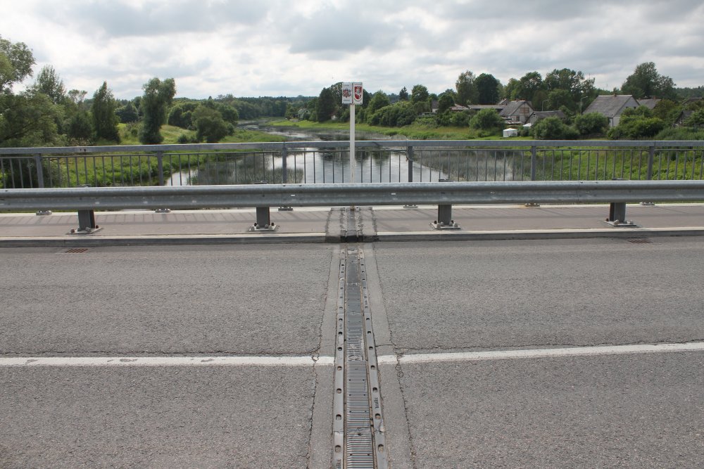
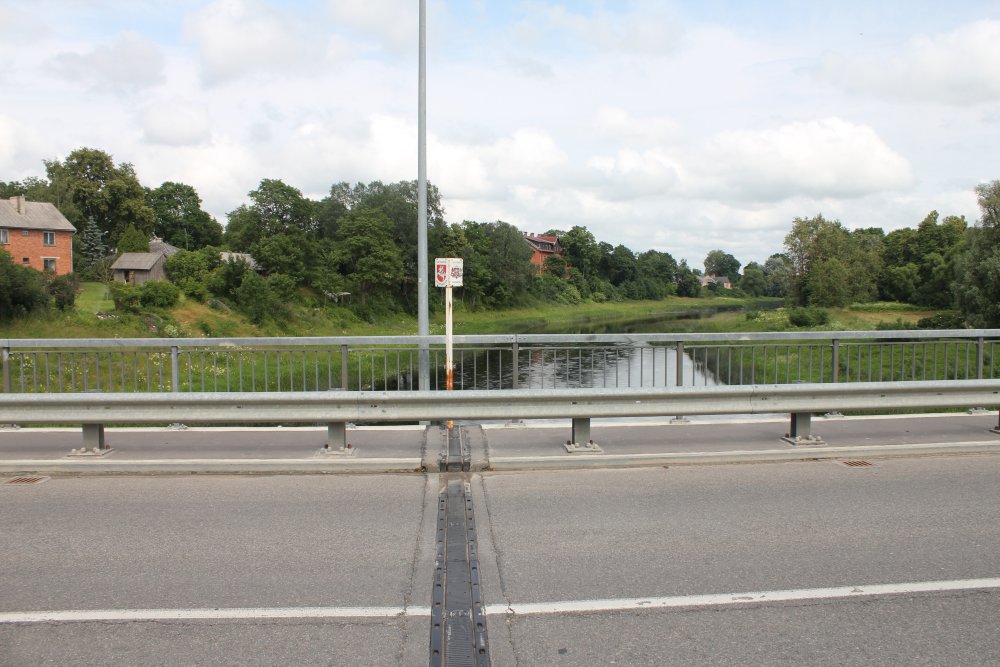
On
the bridge two metal poles with the coat-of-arms of the two countries mark
the exact point of the river border.
Towards
west. Latvia and Highway P89 to the right meets at this line with
Lithuania and her Highway 190 to the left.
As
above, but close-up.
And
here towards east.
Close-up
of the bridge middle marker.
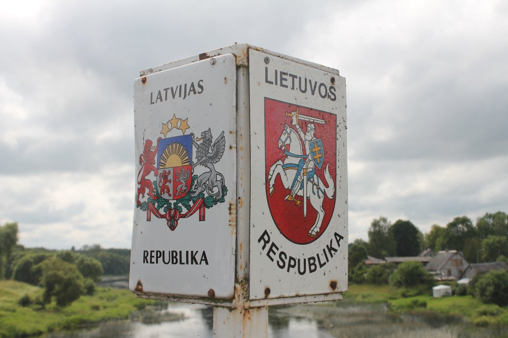
The
bridge pole coats-of arms.
The Latvian
insignia...
...
and the Lithuanian.

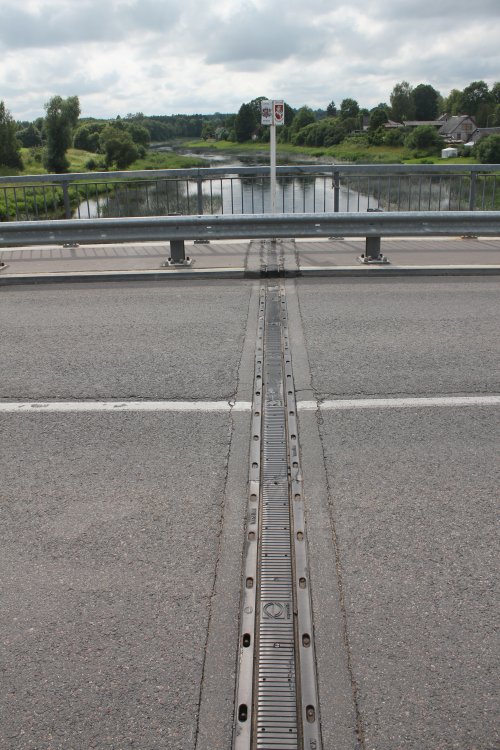
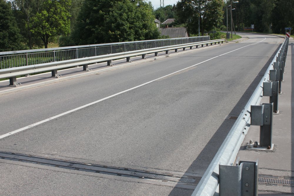
This
is the border line of the bridge. Lithuania is up. The lane
towards Lithuania is to the right of the white line. But the Bridge
Expansion Joint from Transflex which is lined up on the borderline is
actually produced in China.
The
Lithuanian side of the bridge.
Entering
the Lithuanian side at Germaniskis. Tio the left is the
indirect Lithuanian border marker no. 1079.
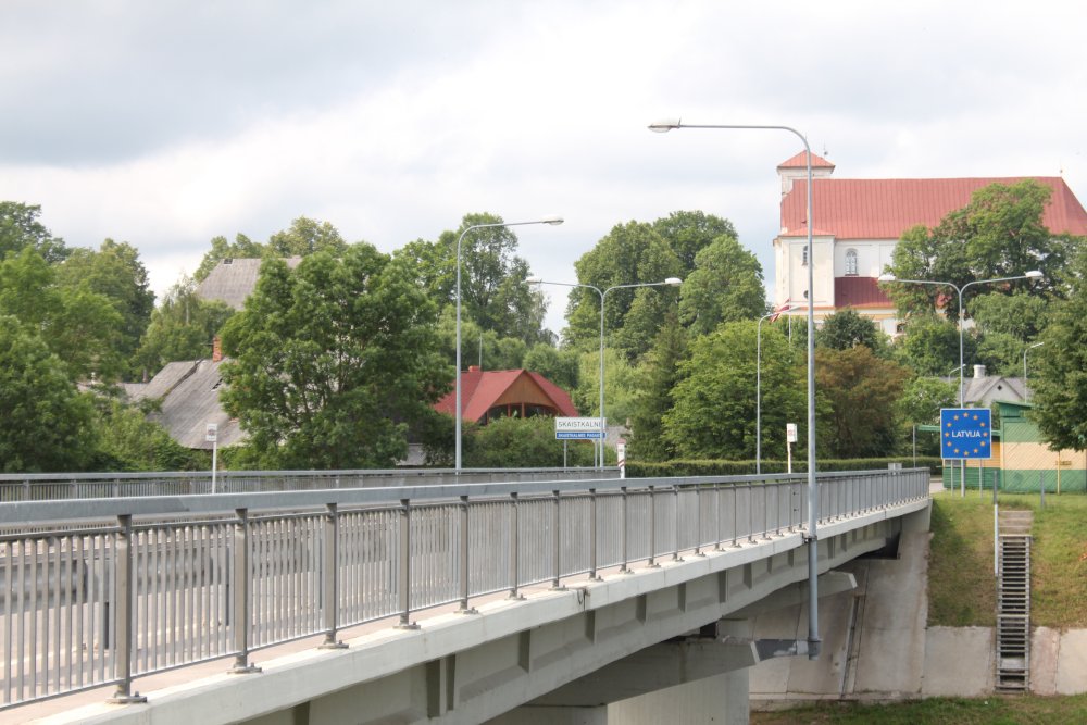
From
Lithuanian side towards the Latvian side with Skaistkalne Roman Catholic Church of the Blessed Virgin Mary.
And
here the same area but in a more wider view with the Lithuanian river bank.
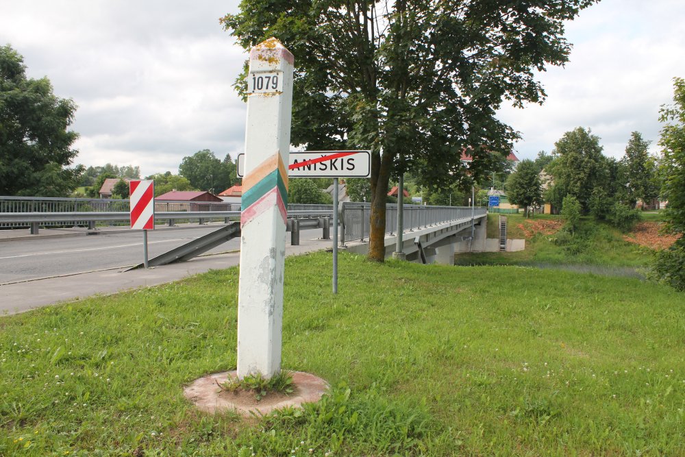
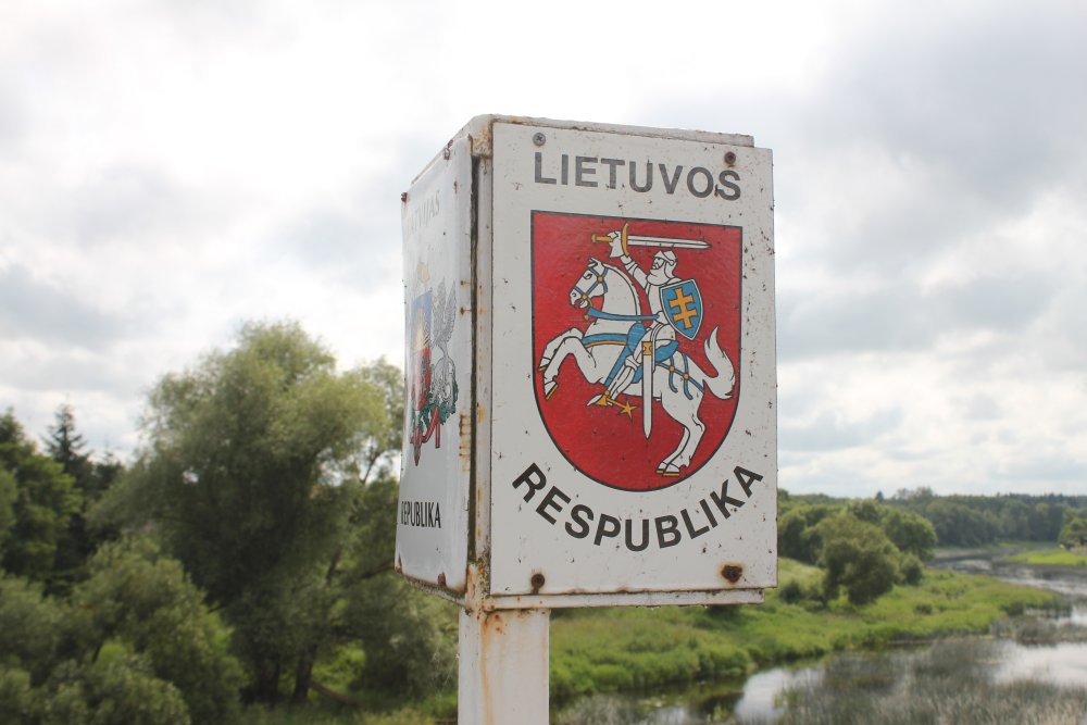
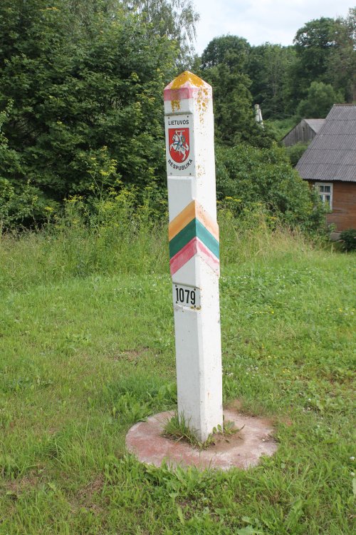
The
Lithuanian border marker no 1079 is located about 110 m from the Latvian
one, and more far from the river. Photo towards north.
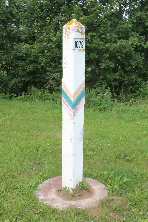
Marker
LT-1079 towards east.
Marker
LT-1079 towards south.
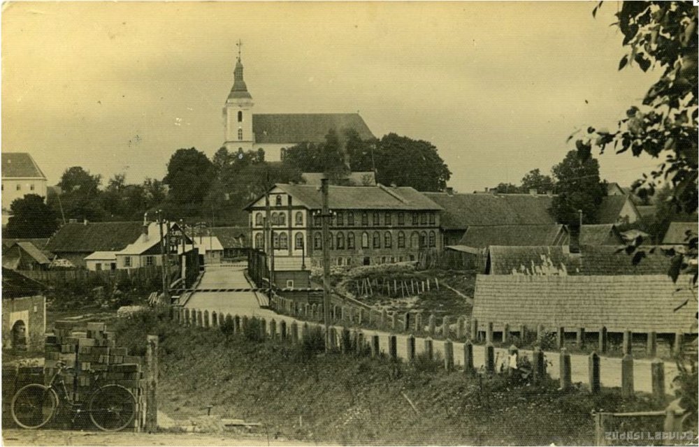
Photo
probably from the 1920s taken from Germaniškis towards Skaistkalne. Notice
the barriers on both sides of the river.
Photographer: A. Johansons, Riga. Source: Zudusi
Latvija.
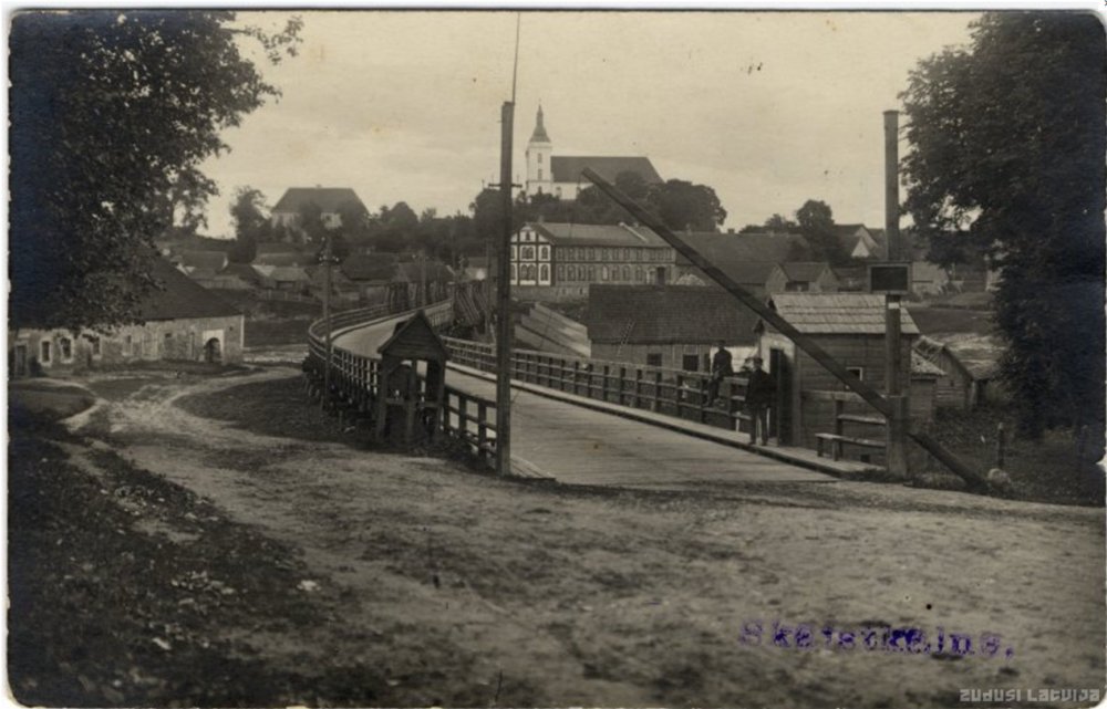
Photo
from the 1930s taken from Germaniškis towards Skaistkalne. Notice
the Lithuanian check-point in the right part of the picture. Source: Zudusi
Latvija.
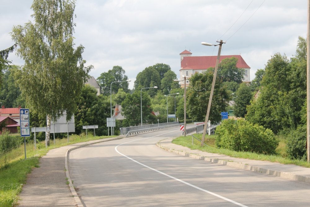
About
the same view as the 1930s photo, but about 80 years later - in 2012.
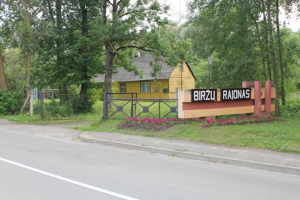
Entering
sign to Biržai municipality (Biržų rajonas) in Lithuania.
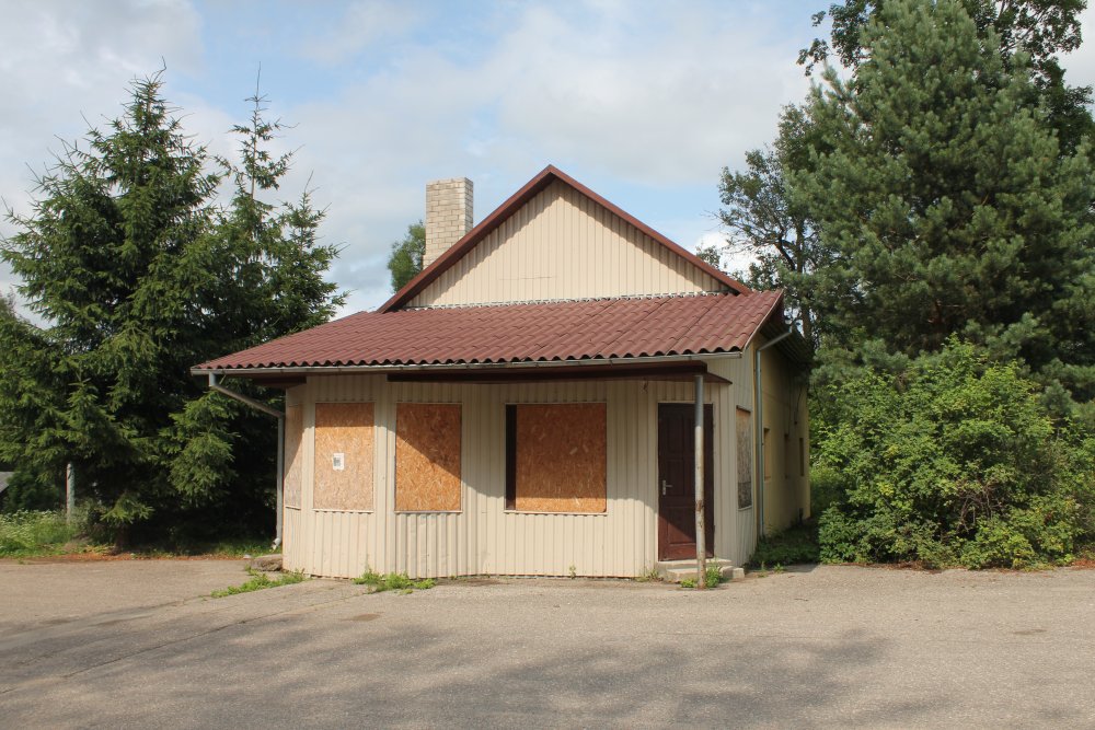
The
former Lithuanian check-point was not in use anymore.

Next
to the check-point we found a view tower.