CZDE I/3/5 – I/4/2
Next ]


Up

Jan S. Krogh's Geosite: Czechia - Germany Boundary Markers I/3/5 – I/4/2 at Loučná (CZ) – Hartau (DE)

The point was visited during IBRG's ENBE Expedition in April 2012. Position: 50°51'30"N 14°49'08"E. Towards Chechia (east). The Czech-German border markers are numbered in dozens of sections (counted from the border to Poland until the border to Austria). This part belongs to section I. Marker I/4 is to right and middle marker 3/6 to left.

Same point as above, but towards Germany (west). Marker 4 to left and middle marker 3/6 to right. Note German coat-of-arm is missing. The markers were of a concrete type, typical for the post WW II Czech - German border demarcation.

Direct line over mm 3/6 towards marker 4.

At marker 4 the boundary changes direction towards middle marker 4/1.

At middle marker 4/1 the boundary again changes direction towards middle marker 4/2.

Further south we see middle marker 4/2  behind 4/1.
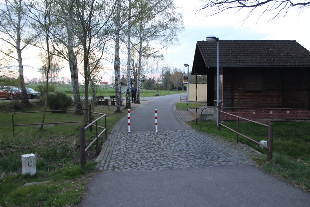
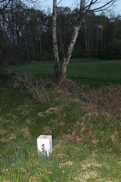
At middle marker 4/2 the border makes an even more sharp turn. Middle marker 4/3 is at the birch in the background.
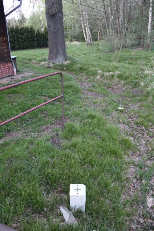
Here we can se middle marker 4/4 in the background.

Further the boundary follows the edge of the forrest (mm 4/4, 4/5, 4/6 and 4/7) until it enter and passes through the forrest.
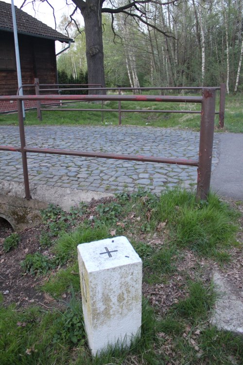
At to the middle marker 4/2 we found an old DDR concrete border marker.

Now from the small border bridge towards north. We are at marker 4 and have 3/6 behind

Now from 3/6 in direction of 3/5.

Hans Peter at 3/5 where the border changes direction. The Czech coat-of-arm and bm 3/6 are visible in the background.

The border seems to originally have run along old creek or ditch, until border markers appeared and demarked the boundary more clear.  On the photo: Hans Peter, Steen and Metz – and Germany in the background.

The border area visited was at the border crossing near border marker 4.  Except of the German coat-of-arm which was missing all border stones were very clearly marked and in very good order. 

Sources and links

  1. Geoportal.gov.cz Topomaps http://geoportal.gov.cz/web/guest/map?openNode=MapList


This page was first time made on 12 May 2012. This page was last time updated 13/05/12 .