 | |
Lithuania
Lithuania is at present covering 65 303 km˛.
The geographical centre of Lithuania is
situated approximately 6.7 km northwest of the town of Kedainiai, at
55°
E. Elevation: 55 metres a.s.l.


Corners of Lithuania
Northern position: 56°
N (at Nemunelis river's turn, Rumbai village, Birzai
district).
|
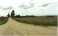
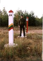
Southern position: 53°53'48,552"N 24°21'07,308"E. 7 km south of the former village of Ustrone
farmstead, Musteika village, Varena district at BYLT border marker 208. Until
the ratification of the new BYLT boundary of 1996 this point was located
inside the territory of Byelorussia. |

 |
Western position: 20°
56' W (on the southwestern corner of Neringa, at the
Baltic sea).
|
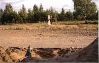
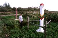
Eastern position: 55°17'08,448"N 26°50'07,8"E (at
Dysna river's turn at Vosiunai village, Ignalina
district at BYLT temporary border marker 063 |
 |
Largest distance
West - East: 373 km
North - South: 276 km
Highest point: Juozapine
hill - 293.6 meters a.s.l.
54°31'51,9"N 25°37'40,3"E.


| Boundary,
km |
|
Totally
|
without sea border:
1702 |
| including sea border:
1731 |
|
Land1
|
with Russia (Kaliningrad area): 290 |
| with Byelorussia: 653,5 |
| with Latvia: 610,3 |
| with Poland: 103,7 |
|
Sea
|
Length at Baltic sea shore:
90 |
|
Lithuanian - Latvian
territorial sea limit: 222 |
|
Lithuanian - Russian
territorial sea limit: 222 |
|
Lithuanian outer territorial
sea limit: 75 |
Notes:
1. The length of the land boundaries are temporary only, as the demarkation
still is not finished.
2. 22 km = 12 nautical miles.
Litterature:
Vytautas Navaitis: Lietuvos rekordai, Agentura "Factum", Alna litera,
Vilnius 1993.
Lithuanian statistical office's homepage - http://www.std.lt
Mano ekstremumu pasaulis (Lithuanian only)- http://www.angelfire.com/blues/riba/
This page was last time updated 25/01/10
.
|
